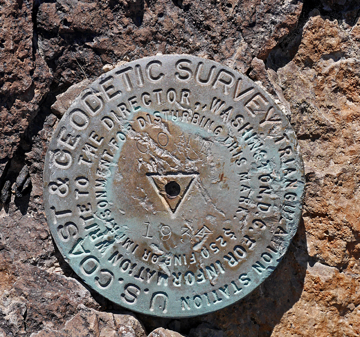
On BLM land, Elevation = 7281 ft. (2219 meters)
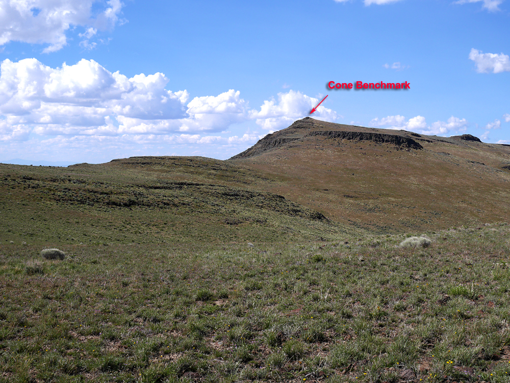
Highest point in the Sheep Creek Range
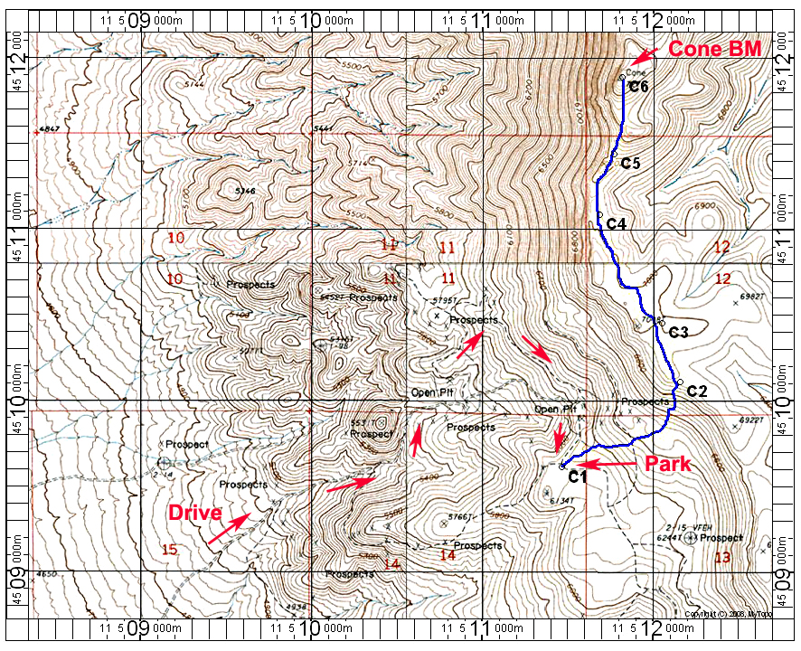
Driving Directions: In Battle Mountain go north on Izzenhood Road. After crossing the railroad tracks go another one-half mile and stay right onto a dirt road when the main road curves left. Reset your odometer here. After 2.5 miles go left at a junction. There is a sharp switchback just after the junction. Follow this road around north then southeast as it goes along the slope. This is the single-track road shown on the map which is the best route. After 3.1 miles you will reach an open pit mine area. Drive down and across the pit then up the other side coming out on top of a plateau at 4.0 miles. Park here which is point C1 on the map.
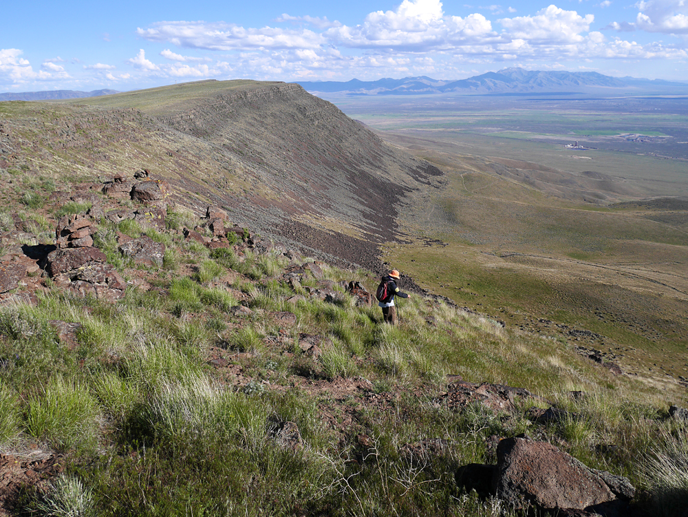
Hiking Route: Go northeast up the steep slopes. The track shown is mostly on an old cow path which will avoid much of the talus fields. At the top is a cairn at C2. It is straightforward then across the plateau to the high point. The route is about 4.2 miles round-trip with a gain of 1300 feet. 5/15 RLC