Webo Benchmark, San Diego County, California, Elevation = 4173 ft.
In the Anza-Borrego Desert State Park

|
Webo Benchmark, San Diego County, California, Elevation = 4173 ft.
In the Anza-Borrego Desert State Park |
|||||||||||||
|
|||||||||||||
| A view looking west from Borrego Springs showing Webo Benchmark and Sirens Peak. | |||||||||||||
|
|||||||||||||
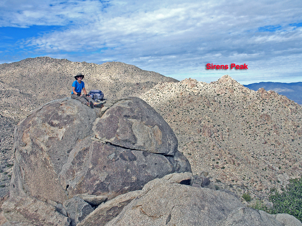
| Shelley Rogers is sitting on the boulder that has Webo Benchmark and the register can. There is a boulder about forty feet south that is about five feet higher. View is looking north. | |||||||||||||
|
|||||||||||||
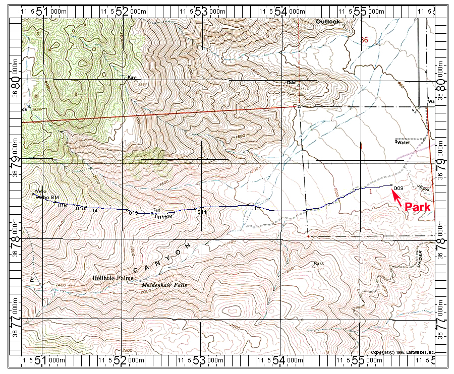
| The above map shows a hiking route up the ridge to Webo. The parking area is at point 009 at the bottom of Hellhole Canyon by highway S-22. There is a large parking area here with toilet. This is an old topo which does not show the route of S-22 which comes down the grade right close to point 009 and curves into Borrego Springs Road at the bottom. The hike is very simple and follows the ridge most of the way. Start up the slopes at point 010. You will go by Ted benchmark which has a register. The primary disk is missing and the register is about 42 feet to the east at RM#1. The terrain is a bit more difficult above Ted with plenty of agave and cholla to dodge. It is best to stay left of the large boulders on the ridge from points 013 to 015. Higher up the agave is not so abundant and the going is easier. This route is 6.2 miles round-trip with a gain of 3300 feet. It took us 1 1/2 hours to reach Ted and then another 1 1/2 hours to Webo. The map has the UTM grid using NAD27 datum. 11/13 RLC | |||||||||||||
|
|||||||||||||
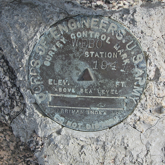
| The benchmark disk was placed by the Army Corps of Engineers in 1941. Datasheet for Webo. | |||||||||||||
|
|||||||||||||
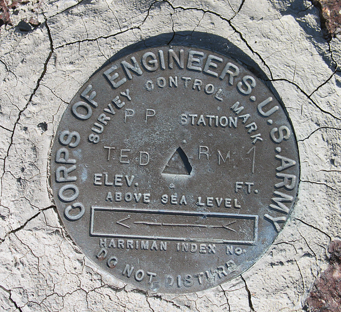
| The primary disk is missing for Ted, but you can find reference mark #1 on a boulder 42 feet to the east. A register is nearby. Datasheet for Ted. | |||||||||||||