Anza-Borrego Desert State Park, California

It is also a challenge to get to the trailhead. Here are some mileages from Borrego Springs:
From the Christmas Circle drive east one mile and go left on Di Grigorio Road, reset odometer.
4.5 miles end of pavement
6.9 miles sign for Alcoholic Pass trail
7.5 miles Sign for Desert Gardens
7.8 cross arroyo, high clearance is needed beyond here
9.3 miles gaging station, cross stream
9.6 miles Coyote Canyon sign and gate. Closed from June 1 to September 30
10.0 miles third crossing, rough
10.1 miles nasty, rocky hill, rough and rocky for next 0.5 mile. 4WD low range needed. This hill is called
"Boulder Alley".
10.6 miles top of hill, better road from here
10.9 historic marker junction, go left
11.7 Sheep Canyon junction, go right
12.9 Salvador Canyon junction go left
13.1 road ends, park here
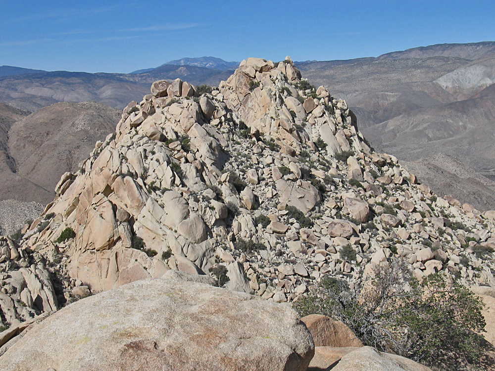
Hiking route: Walk west in the arroyo about 1/2 mile and pick a route left up through the boulders. Our route works fairly well. There is no optimum route. It is long climb snakeing through the boulders to a high canyon on the east side of the summit. The track should be closely followed from the boulder-filled valley east of the peak to get up to the summit blocks. 2/17 RLC A track file is available: P3500 Track.gpx