P2121 ft., Imperial County, California, Elevation = 2121 ft.
In the Fish Creek Mountains, Carrizo Impact Area
|
P2121 ft., Imperial County, California, Elevation = 2121 ft.
In the Fish Creek Mountains, Carrizo Impact Area |
|||||||||
|
|||||||||
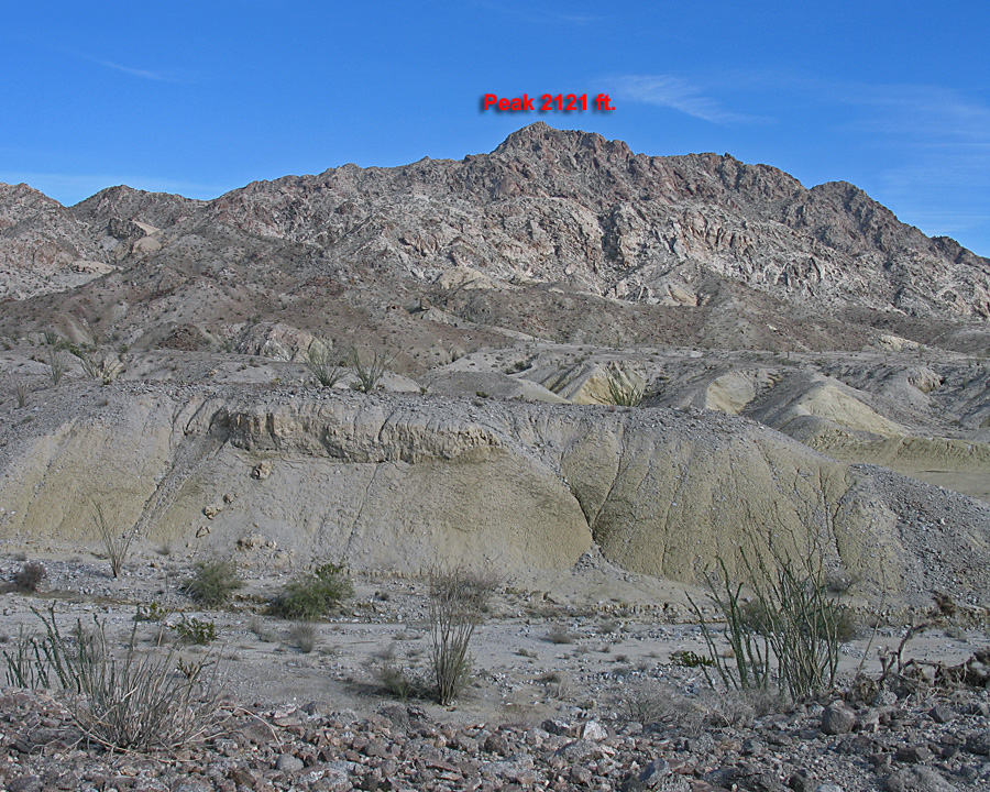
| View looking east at P2121 ft. Located in the remote Fish Creek Mountains. | |||||||||
|
|||||||||
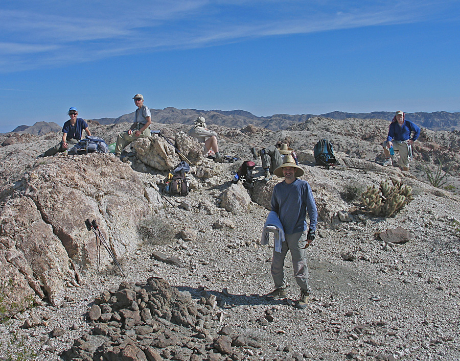
| Hikers on the summit of P2121, January 30, 2010. | |||||||||
|
|||||||||
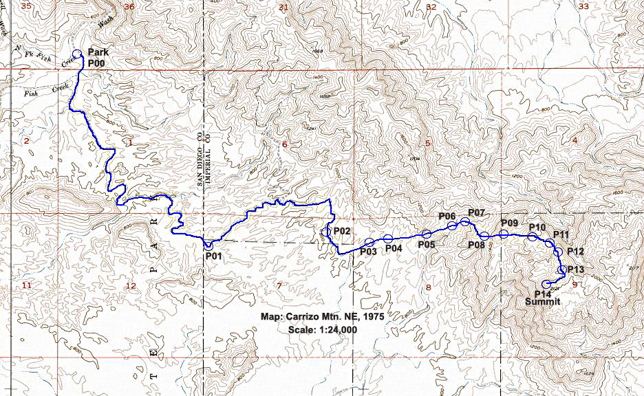
| Hiking route to P2121 which starts from the road just south of the narrows in Split Mountain, Anza-Borrego Desert State Park. The route is 14 miles round-trip with about 2100 ft. elevation gain. The hike takes about 9 to 10 hours and should only be attempted in cooler weather from December to February. Only the last part of the hike in section 9 is in the Impact Area and there is little danger in this remote corner. The map is the 1:24,000 scale Carrizo Mountain NE of 1975. P2121 GPS route file | |||||||||