|
Peak 6582 ft. (Dawns Peak), Riverside County, California
In the Anza-Borrego Desert State Park |
|||||||||||
 |
|||||||||||
 |
|||||||||||
 |
|||||||||||
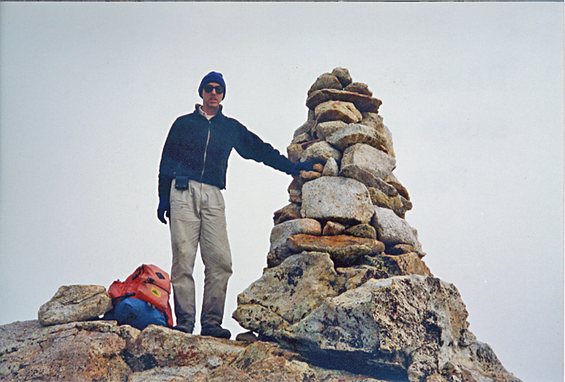
| This is the large cairn on the summit of Dawn's Peak. Photo taken February, 1994. | |||||||||||
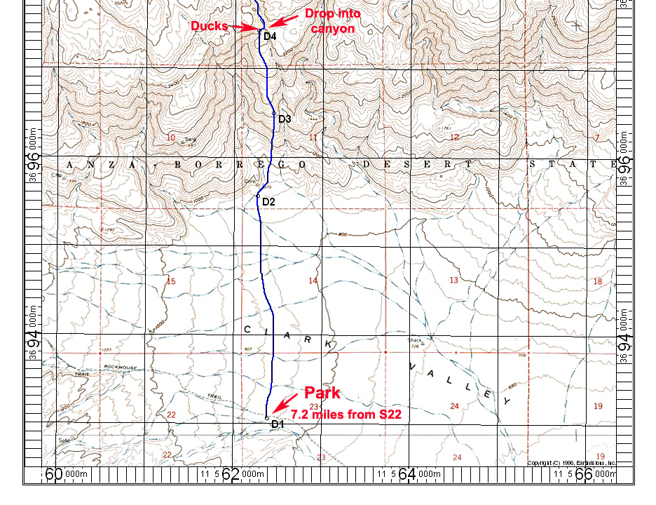
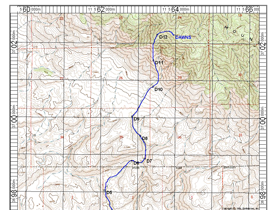
| Peak 6582 ft. is not officially named, but has been known as Dawns Peak by San Diego area hikers for many years. It is the first significant peak north of Rabbit Peak in the Santa Rosa Mountains. The above map is part of the Clark Lake NE topo with the UTM grid shown using NAD 27.
Driving Directions: From the Christmas Circle in Borrego Springs drive east on Borrego Springs Road which is route S22. The highway passes the airport then goes north past Pegleg Historical Marker and then east toward the Salton Sea. At 1/2 mile east of Pegleg turn left (north) on signed Rockhouse Trail which is paved for a very short distance then turns into graded dirt. The road has a lot of washboard surface, but otherwise is good for most any high-clearance vehicle. A short section crosses the Clark Dry Lake and it is best not to drive this if there has been recent rain. Point D1 is a good starting point for the climb of Dawns Peak and it is 7.2 miles from S22. Hiking Route: Head due north toward Corp BM and point D2. There are some petroglyphs in this area. Go right up the ridge to D3 and D4. There were some ducks near D4. Go to the right and drop into the canyon and continue north and northeast. At D6 go over a ridge into a canyon and follow it north. At D9 head up broad slopes to D10. Follow the ridge which gets steep to D11 and D12. Curve to the east to reach a cairn at the summit. GPS Exchange File: DawnsPeak Stats: This is a strenuous hike with about 5730 feet of gain over 7.5 miles to the top. It took us 13 hours round-trip. Do this in the winter months and take headlamps or lights since you will probably return in the dark for the last part of the hike. RLC |
|||||||||||