Mt. Pulag, 2929 m, (9609 ft.)
Highest point on Luzon Island, Philippines

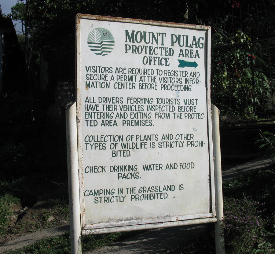
Sign at Mt. Pulag Park office in town of Ambangeg.
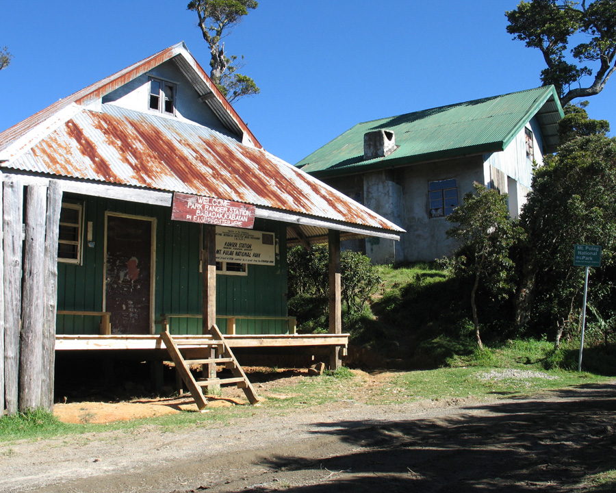
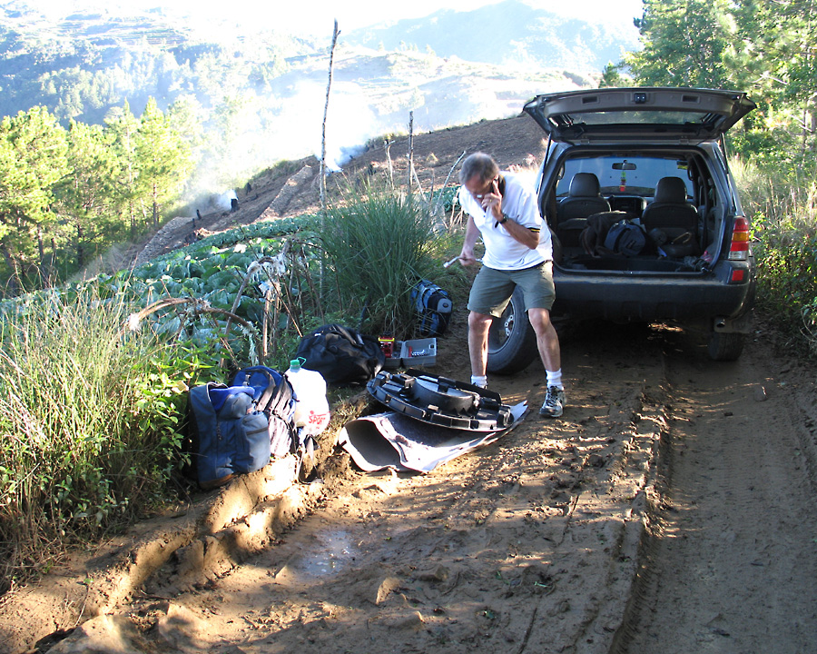
Mt. Pulag Ranger Station at 2466 m, (8090 ft.). No one was there, but we found a guide nearby. This is the end of the drivable road.
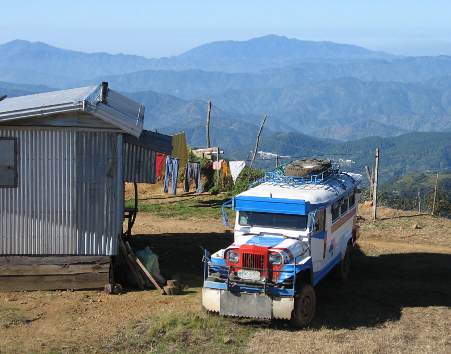
One of the four-wheel drive Jeepneys that goes up the mountain. It would have been better to use one of these.
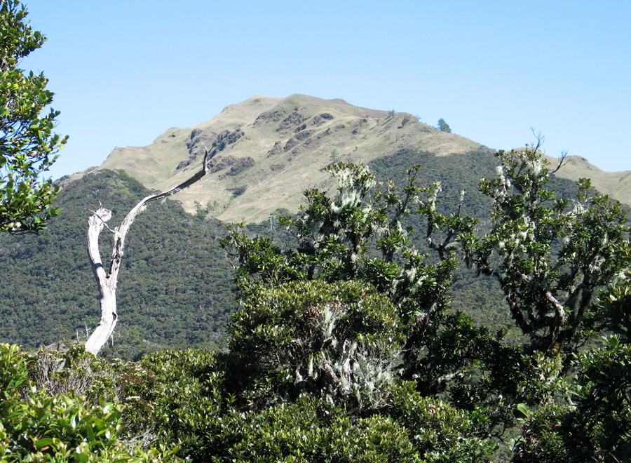
Top of Mt. Pulag showing the Pulag grasslands. Trail is on the right. This a view of the south side.
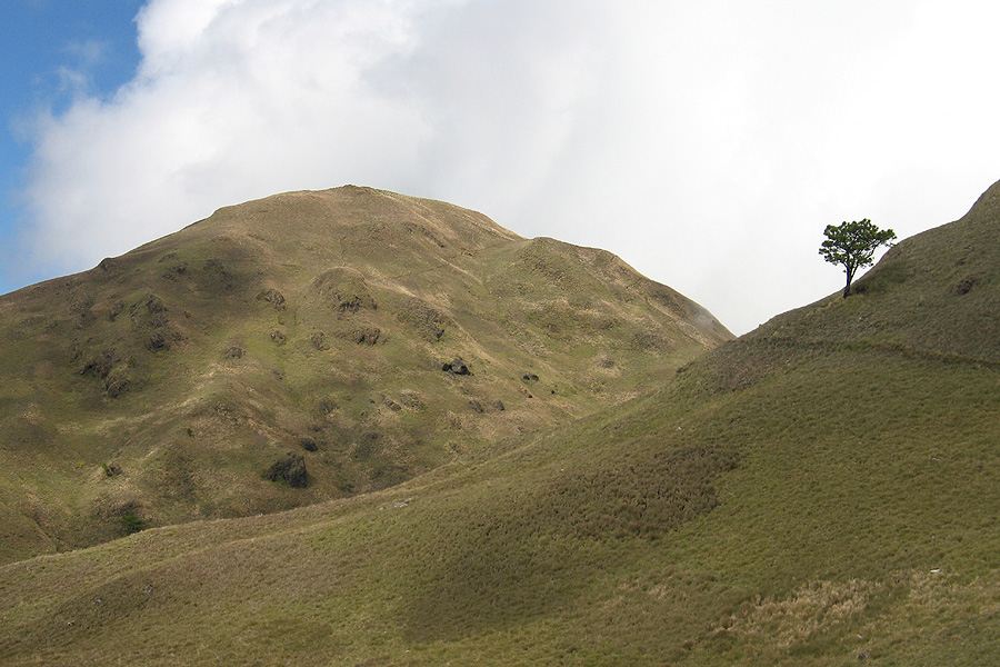
Upper part of Mt. Pulag from Teltelpok Pass at 2324 m, (8280 ft.) There is a small covered shelter here.
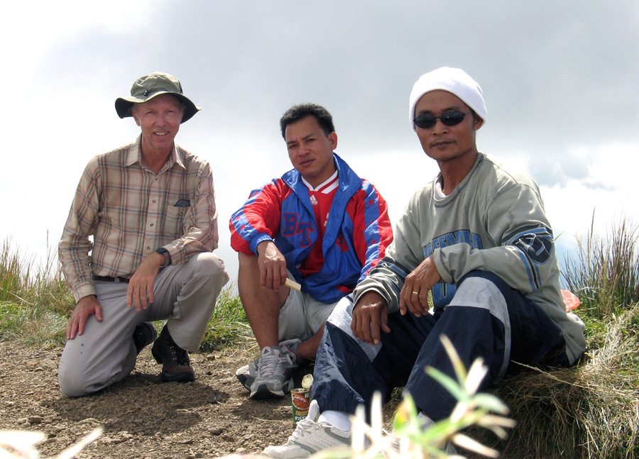
Richard, guide Ben and driver Erick on summit of Mt. Pulag. Elevation from guidebooks is 2929 m, (9609 ft.). I measured 2947 m, (9669 ft.) with my GPS receiver.