Wildcat Peak, Nye County, Nevada
Elevation = 10,508 ft. (3203 meters)
Located in the Toiyabe National Forest

|
Wildcat Peak, Nye County, Nevada
Elevation = 10,508 ft. (3203 meters) Located in the Toiyabe National Forest |
|||||||||||||
|
|||||||||||||
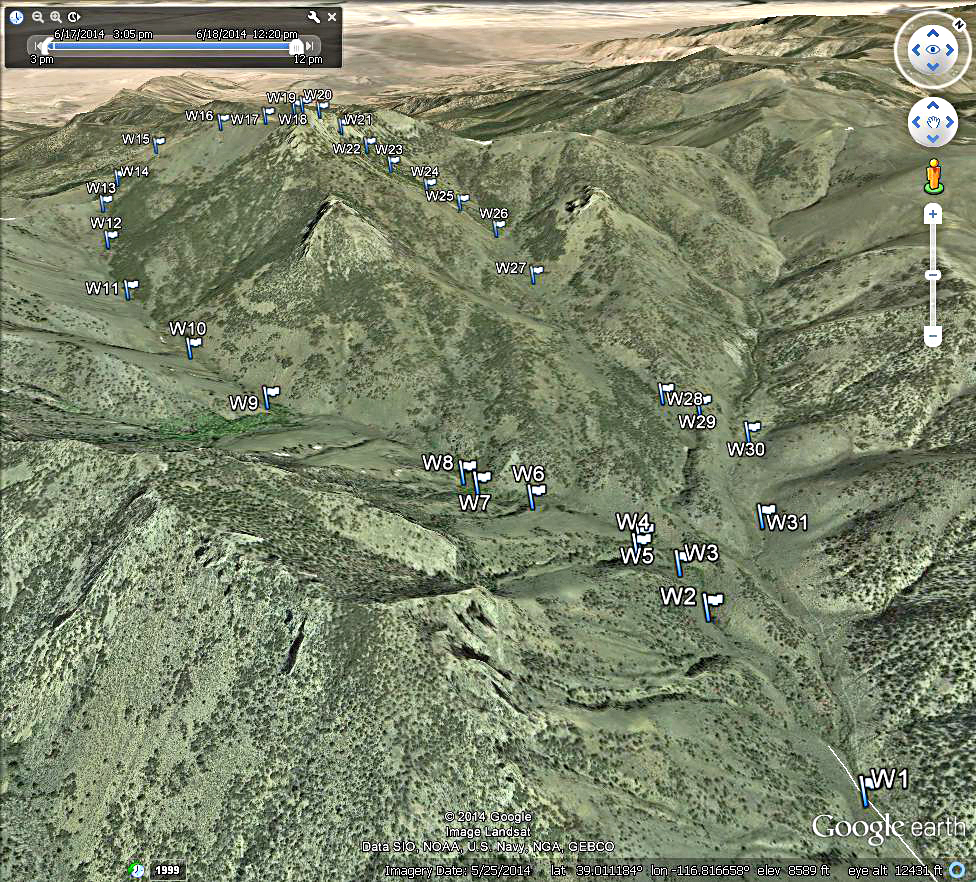
| This topo shows our climbing route to Wildcat Peak from a camp spot in Mill Canyon on the east side of the mountain. The map has a UTM grid using NAD27 in zone 11. Point W1 is the campsite at 8060 feet near the end of the road. It is 5.9 miles on road 43348 up the canyon from the main road in Monitor Valley. At 5.4 miles turn right on an obscure spur and drive another 0.5 mile. The road goes a little bit further, but we stopped at this point at a flatter camp spot. The route is a clockwise loop which started up the canyon the same as used by Ken Jones in his report. Ken's Report on Wildcat Peak. From the summit (point W19) we went north and found a gap in the ridge at point W20 which looked like a direct route down. This was quite steep, but went down to scattered trees and easier slopes in short order. We followed the broad valley going east. At point W28 we went left up over a small ridge and dropped to an old road that led back to the main road. The climb up took 3 1/2 hours on this track which is 2.9 miles with a gain of about 2450 ft. The route down was 2.2 miles and took us about 2 hours. One could use our descent route to climb the peak. It is loose and steep at the end, but is a shorter route without some of the brush in the canyons on the south side. A GPS waypoint file is available for this route: WildcatPeak.gpx | |||||||||||||
|
|||||||||||||
| This is a Google Earth image showing the east side of Wildcat Peak and our loop hike. | |||||||||||||
|
|||||||||||||
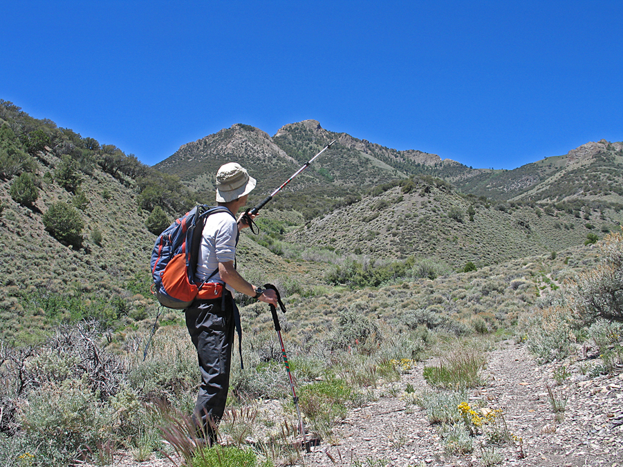
| Adam Helman pointing to the spot on the north side where we started our descent. | |||||||||||||
|
|||||||||||||
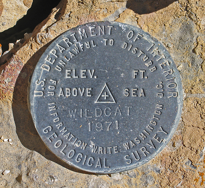
| Wildcat benchmark disk at the summit placed in 1971. Datasheet | |||||||||||||