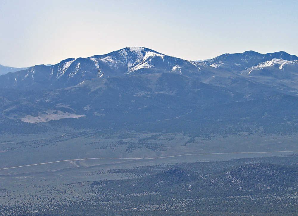
On BLM land, Elevation = 10,154 ft. (3095 meters)
Driving Route: I don't have a driving route and I suggest using the good report by Dean Molen on Peakbagger. Telegraph Hill by Dean Molen.
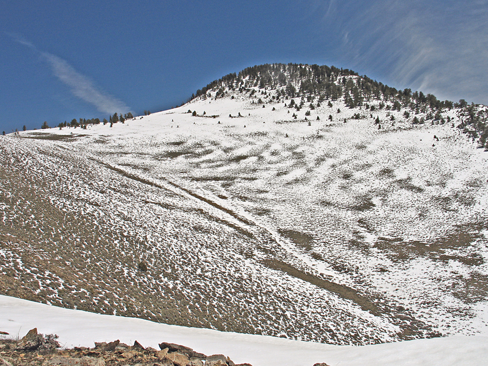
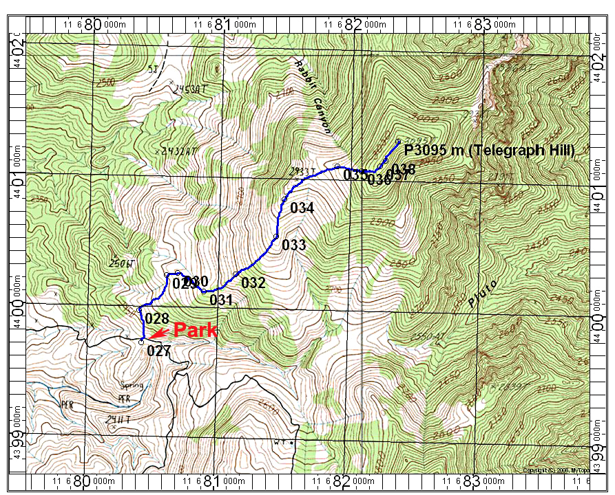
Hiking Route: Park at point 027 and begin the climb on an old track leading north right from the parking spot. It will curve east higher up and eventually runs out on the open slopes at about waypoint 032. Go up to a small bump at 033 then north on the ridge staying to the east side of bump 2933. In the broad saddle you can go east up the slopes through the scattered forest. There is a small peak along the ridge at point 038 that sights just about as high as the northern point where the register is located. I suggest going over that to the northern point. This route is 4.8 miles round-trip with a gain of about 2400 ft. It took us 2 1/2 hours up and 1 3/4 hours down. Without the deep snow on top the climb would be probably faster and easier. 5/14 RLC A GPX file is available.