On BLM land, Elevation = 8813 ft. (2686 meters)
Highpoint of the Reveille Range
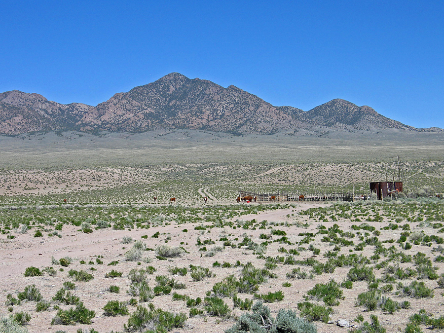

Driving Directions: The west side of the mountain can be reached from Tonopah by driving east on route 6 then go a short distance on route 375 and turn south on the graded dirt road in Reveille Valley. It is 28 miles on the dirt road to Willow Witch Well. From the south take route 375 northwest from Rachel and turn left on a paved road marked "Cedar Gate". This is a short distance north of milepost 44. Go west for 8.8 miles and turn right (north) by an abandoned ranch. Follow the dirt road for 7.9 miles to Willow Witch Well on your right. At the well take the fair road east past the cattle tank for 3.5 miles up to the base of the mountain. This is OK for most vehicles and is not shown on the topo map. Park near point 129.
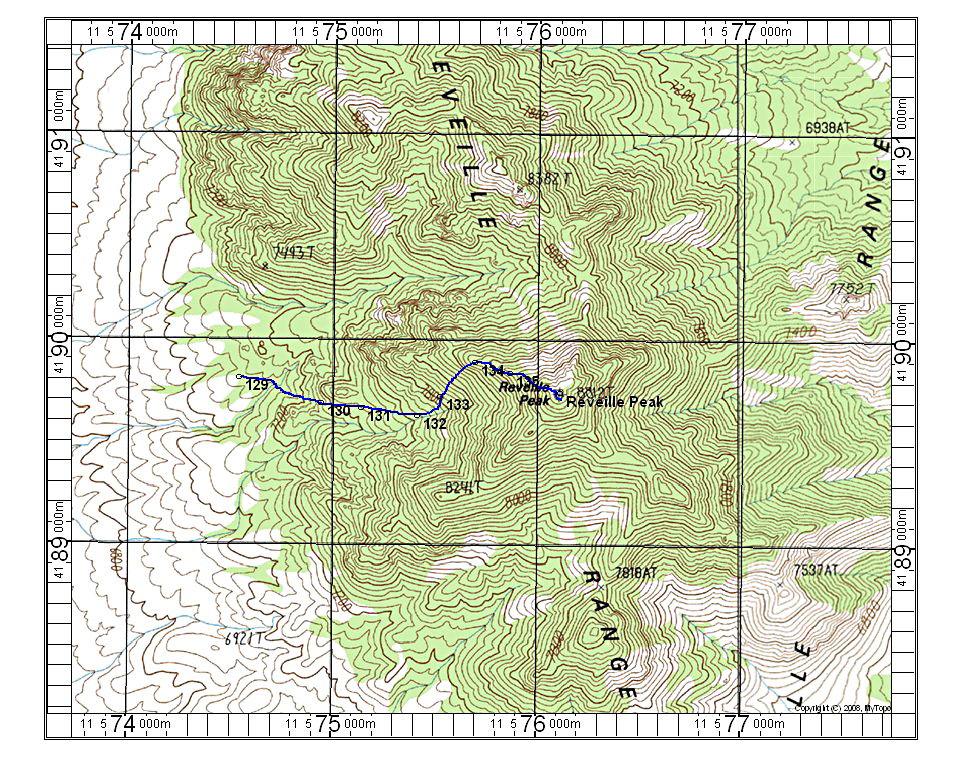
Climbing Route: The second photo shows the route which stays to the right of a large rock pillar then goes left up steeper slopes to the west ridge. Join the ridge higher up to avoid some more difficult rock. The route is 2.5 miles round-trip with a gain of 1700 feet. It took us about 2 hours up and 1 1/2 hours down. 5/13 RLC