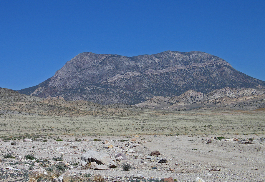
On BLM land, Elevation = 9169 ft. (2795 meters)
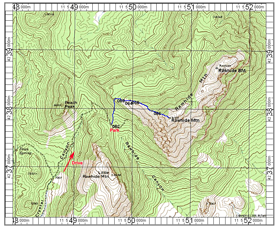
Driving Directions: On highway 6 go north about 2.4 miles from the junction with route 375 at Warm Springs. Turn off left (west) onto an unmarked dirt road. This road is generally good, but goes through some sandy washes were four-wheel drive will be needed. At 4.2 miles go right at a junction. Continue until at a point 8.3 miles from the highway where you want to look for a little-used road on your right. UTM there is: 548015E, 4235210N, NAD27. The road makes a sharp turn back to the east then goes north into Crystal Canyon. Reset your odometer. At 1.3 miles go straight at a junction. The road is eroded and rough and four-wheel drive, high-clearance is needed. At 2.4 miles the road makes a sharp turn to the right and climbs steeply. At 2.9 miles you reach the end at a saddle with a wilderness boundary sign. There is limited camping space here for a couple vehicles. This is point 062 shown on the map.
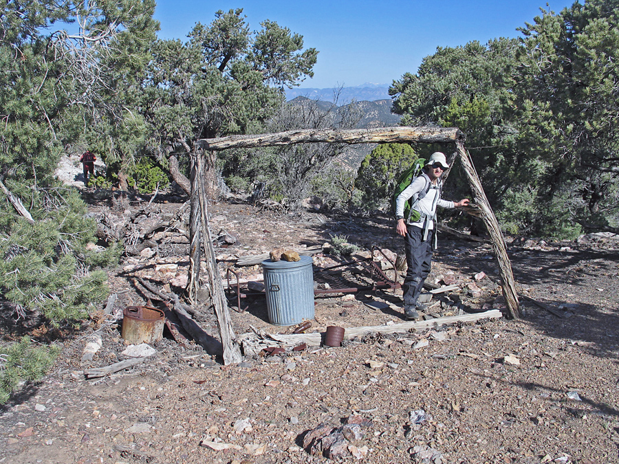
Climbing Route: Hike north on the old road up to a ridge where the road ends after a cut through the rock. Continue right up the ridge. At point 066 reach the miner's camp. There is a trail going around the mountain on the north side gaining slightly which we used, but then we decided it was better to go straight up the ridge. This was much steeper, but did go. The trail may continue to the saddle between Rawhide and Rawhide BM and then one could go west up the easy ridge to the highest point. You can stay on the ridge which is what I show on the map and was the way we went down. The route is about 2 miles round-trip with a gain of 1300 feet. It took us 1 hour and 20 minutes to reach the top. 4/13 RLC