Moody Peak, Nye County, Nevada
On BLM land, Elevation = 8883 ft. (2708 meters)
|
Moody Peak, Nye County, Nevada
On BLM land, Elevation = 8883 ft. (2708 meters) |
||||||||
|
||||||||
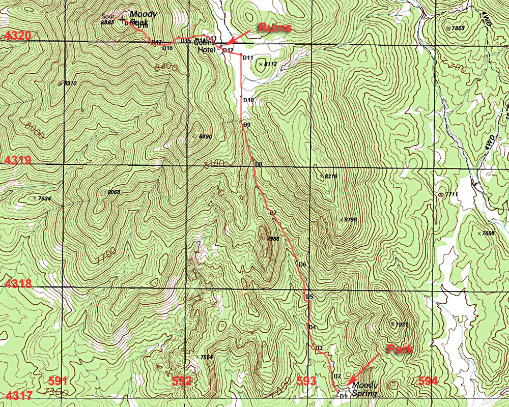
| The topo shows our hiking route to the peak starting from Moody Spring. This route is 5.6 miles round-trip with an elevation gain of about 1500 feet. It took us 2 1/2 hours to reach the top. The first part is in open forest following horse paths up to a meadow. It's flat across the meadow to an old ruin called Collins Hotel. From there go west up the slopes working your way around trees and brush. It is not severe and can be negotiated without too much difficulty. The above map has the UTM grid using NAD27 in zone 11. A GPS waypoint file is available: MoodyPeak.gpx Dean Molen has good driving directions to Moody Spring in his report on Peakbagger.com. Dean's report | ||||||||
|
||||||||
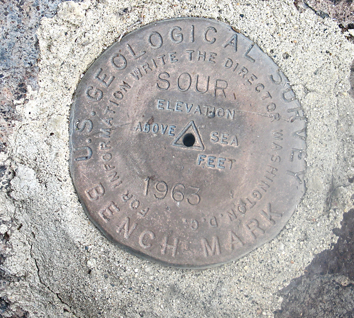
| The primary benchmark which was placed in 1963. There is no datasheet available. | ||||||||