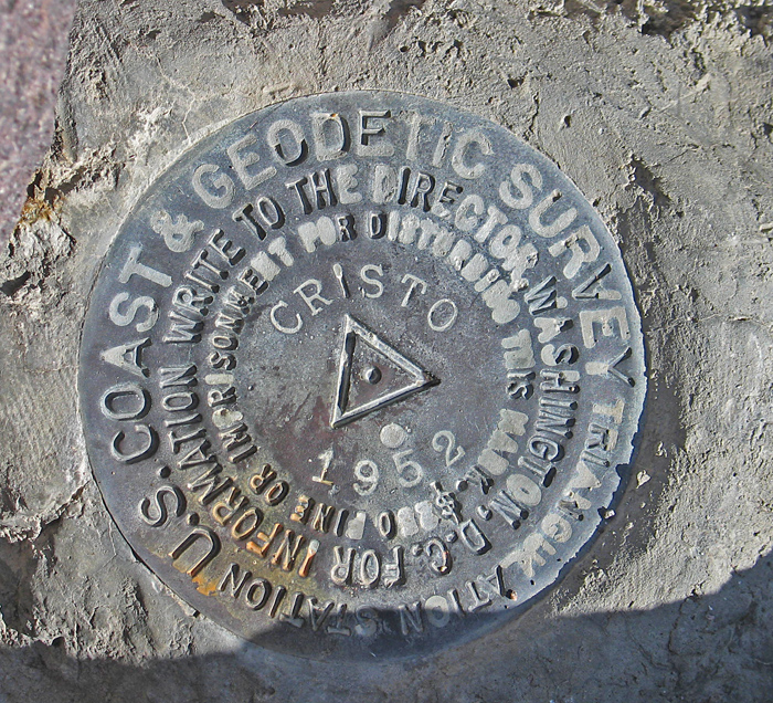
On BLM land, Elevation = 8001 ft. (2439 meters)
Highpoint of the Monte Cristo Range

Driving Directions: On highway 6 look for a road going north about 0.1 miles east of a microwave tower on the south side. This is also 0.4 miles east of the junction with route 265. Reset your odometer and note the following points: At 5.8 miles go right at a junction. At 6.2 miles go straight ahead. At 7.5 miles pass two large boulders on your left. The road curves around a lot in this area. There are some side roads, but stay with the best graded track. At 10.8 miles go left at a T junction. At 13.1 miles turn right onto a poor road going toward the mill. This is point 083 on the map. In a short distance curve right up a hill and then turn left at about 13.2 miles. I camped near point 084 at 13.5 miles, but you can turn right there and continue up to a mine pit at point 086. The jeep road is in bad shape and I would not try to drive further.
Hiking Directions: From point 086 hike east on the old jeep road. You eventually cross a steam bed at point 089. From there turn southeast and get on the ridge that goes up to the left side of a distinct saddle. On the ridge it is an easy walk to the top. The route from point 084 is about 3.6 miles round-trip with a gain fo 1400 feet. It took me about 1 1/2 hours to reach the top. 4/13 RLC
