On BLM land, Elevation = 8980 ft. (2737 meters)
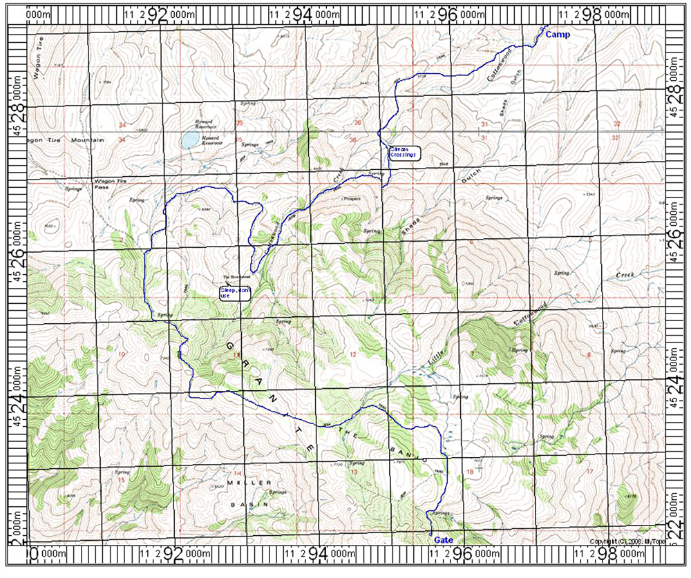
North of the town of Gerlach follow route 34 north past the Black Rock Desert dry lake for about 24 miles to a road on the left that goes to Cottonwood Canyon. Reset odometer here. The road is fair dirt and after 4.1 miles there is a wide spot on the left just before a stream crossing where we camped. After the stream the road is rough and requires four-wheel drive. Go left at a possible junction in 6.1 miles. The road will make several more stream crossings at 6.7 to 7.0 miles. Stay with the road along the side of Cottonwood Creek where it is rocky and slow going. At 9.1 miles pass the ruins of The Homestead shown on the topo. There isn't much there. From the homestead turn sharp north and make a big loop. This avoids the very steep alternate short-cut. At 11.4 miles stay left at a junction and head due south. Follow the road to an area called The Banjo and stay right at 14.8 miles. The road will curve south along the side of the mountain and end at a locked gate at 16.0 miles. Turning around and parking here is difficult. Start the hike from here.
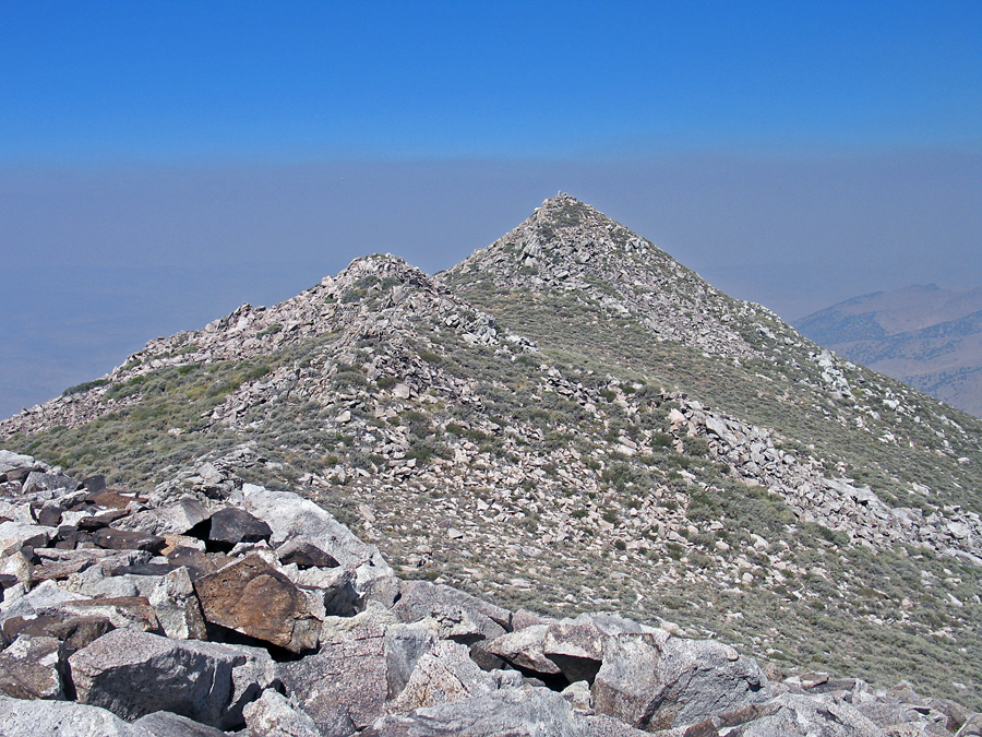
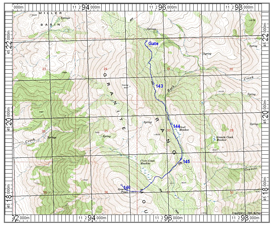
Hike the old road south, descending twice before you come into a pleasant valley with Skull Meadow. There are some wild horses that hang out in this meadow. Go south to a drainage on your right and take that heading southwest. Climb up to a high meadow and the peak with a radio tower will be visible ahead. The true highpoint is the northwest summit which can be reached by scrambling over the south summit past the abandoned tower. The route is 3.9 miles one-way with a gain of about 2300 feet. It took us 2 3/4 hours to reach the top. 8/12 RLC