Peak 1941 m, East Pahranagat Range, Lincoln County, Nevada
On BLM land, Elevation = 6368 ft. (1941 meters)
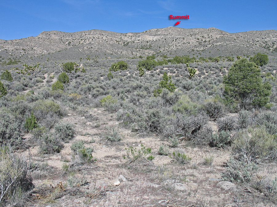
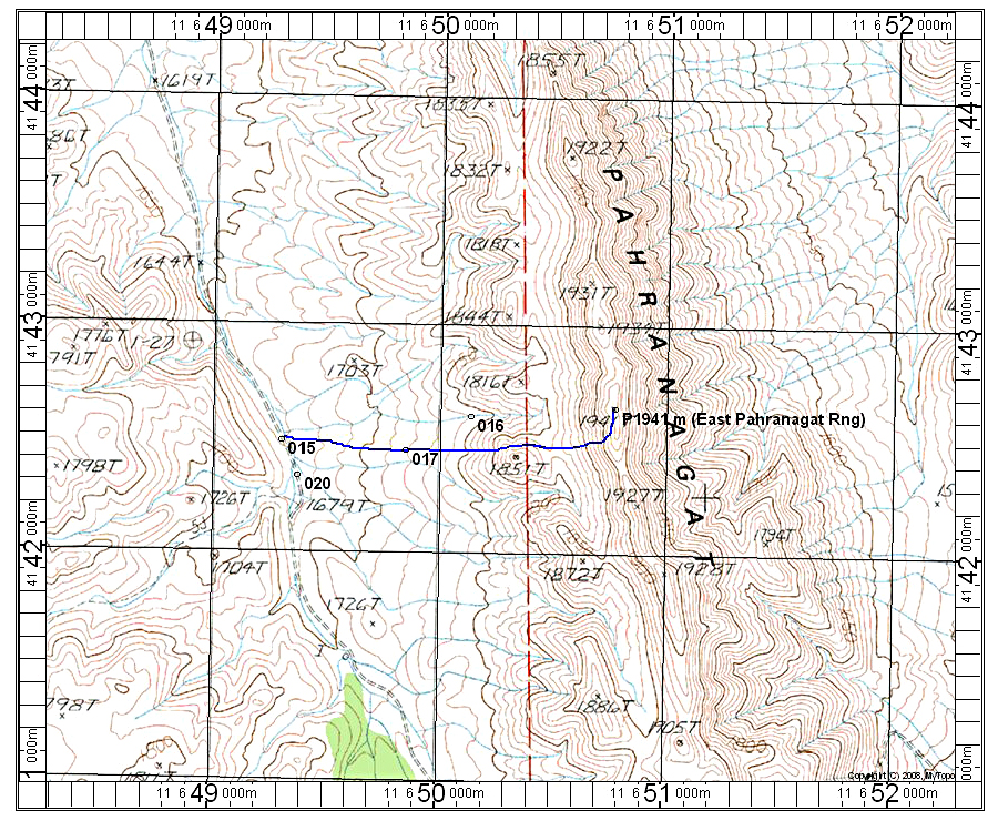
Driving Directions: North of Alamo and Ash Springs take highway 375 west for about 9.2 miles and turn off south onto an unmarked dirt road. UTM here is: 646668E, 4149225N, NAD27. Follow this south for 4.9 miles. The last mile or so is rough and high-clearance is advised. I parked at point 015, but a short distance further is an old road heading east (see photo above). One could drive this up to point 016 and start the hike from there. There is no good camping at the end of this road.
Hiking Route: I hiked from point 015 and the route was easy and is about one mile each way with a gain of 890 feet. If you drive in and start from point 016 it will be about half the distance. 4/13 RLC