Old Baldy, 8678 ft. (2645 meters), Fergus County, Montana
In the Lewis and Clark National Forest


|
Old Baldy, 8678 ft. (2645 meters), Fergus County, Montana
In the Lewis and Clark National Forest |
||||||||||
 |
||||||||||
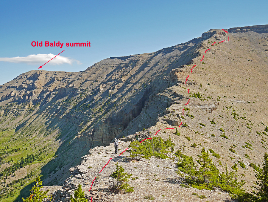
| Looking north at our route on the ridge heading to Old Baldy summit. This route is 8 miles round-trip with a gain of about 2800 ft. This is considerably shorter than the 13 mile route from the northeast that has been used by many climbers. See map with track file below. | ||||||||||
 |
||||||||||
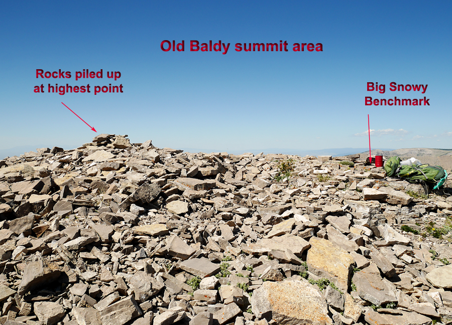
| There has been some speculation about whether Old Baldy or nearby Greathouse Peak is the highest. Here is a side view showing the rocks piled up at the summit and the nearby Big Snowy benchmark which is on a rock at the base of the red can register I placed. The natural height of the highest point is probably not more than two feet above the benchmark disk. This would make the highest point 8680 ft. by adding two feet to the benchmark elevation. Greathouse Peak is shown with a spot elevation of 8681 ft. which may not be as accurate as that of a benchmark. So the difference is too close to call and climbers should do both peaks. The highest peak gets the biggest prominence and I would say Greathouse should be the 4K prom peak. | ||||||||||
 |
||||||||||
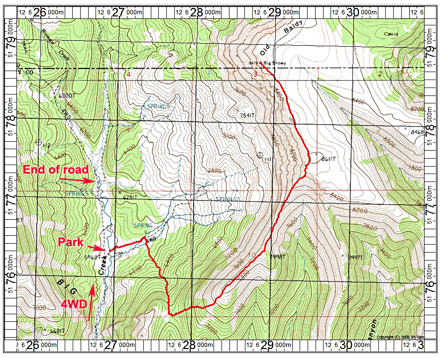
| This shows the route from the south and this allows one to do both Greathouse and Old Baldy while in the same valley along Swimming Woman Creek. The route starts at a road crossing the creek which goes to a fence. The gate was difficult to open so we hopped the fence and went up the meadow. Turning south we found some cow paths through the forest, but at times the growth was thick and required some dodging of logs and brush. Reaching the saddle at 6840 ft. we headed east up the slope with the forest gradually fading out. We stayed right on the ridge and there are no serious problems, but there is some loose talus getting up to the plateau by point 8611ft. From there it is an easy walk to the top. The route is 8 miles round-trip with about 2800 ft. of gain. It took us 3 1/2 hours up and about 3 hours down. A track file is available: BigSnowy.gpx There is space for camping at the end of the road. Signs there prohibit further vehicle travel north. 7/16 RLC I want to thank Mark Adrian for suggesting the route and to Shelley Rogers for saving the track file. | ||||||||||
 |
||||||||||
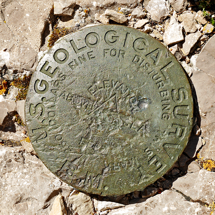
| The Big Snowy disk is damaged and was not stamped when placed in 1949. We couldn't find the two reference marks which are supposed to be nearby. Datasheet. | ||||||||||