|
|
|
|
|
|
|
Photos of a Climb of Kilimanjaro, Tanzania, January 17-22, 2007
all photos by Richard L. Carey. Click on photos with blue border to expand.
|
|
 |
|
 |
|
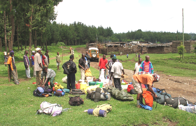
| Sorting out and loading up gear at the start of the Rongai Route. This is near the shanty town of Naremoru. Elevation here is 6470 ft. (1972 meters). |
|
|
| View of northeast side of Kilimanjaro from our first's night camp called Simba Camp. This is 3.5 hours hike from Naremoru. Elevation is 8690 ft. (2650 meters) |
|
|
 |
|
 |
|
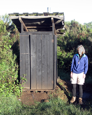
| Shelley next to outhouse at Simba Camp. Would be nice if there were a seat inside, not just a square hole! |
|
 |
|
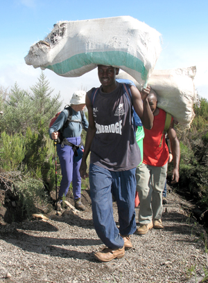
| Don't try this at home! The porters make it look easy! Our group of seven had our 14 porters zoom past us. |
|
 |
|
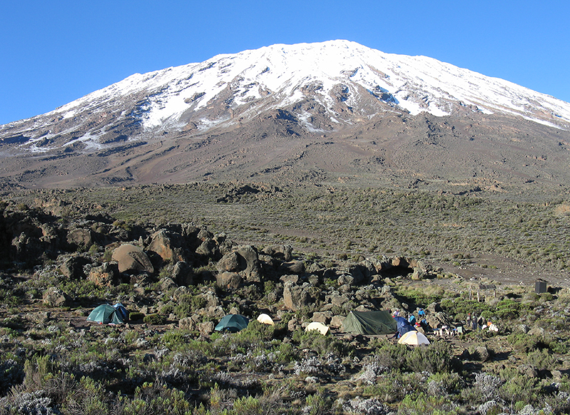
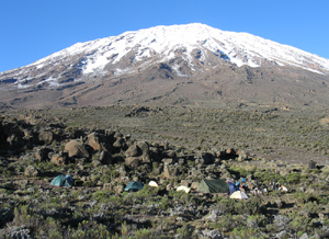
| Our camp at Third Cave at 12,930 ft. (3940 meters). This is five hours up from Simba. We stayed an extra night here and did an easy dayhike to help acclimatize. Only two other people were doing the Rongai Route at this time and they camped near us. |
|
|
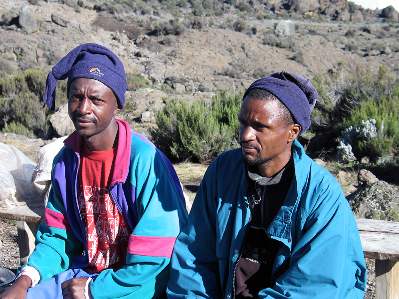
| Our guide Augustine on the left and assistant guide Asantile. Great guys who made the trip go smoothly. |
|
|
|
 |
|
|
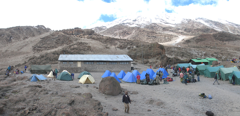
This is the busy Kibo Camp at 15,460 ft. (4713 meters). Our tents are to the left of the blue tents. Some groups stay in the large bunk house. We start at 12:30 to 1:00AM the next morning hiking up the steep slopes behind the camp. |
|
 |
|
|
 |
|
|
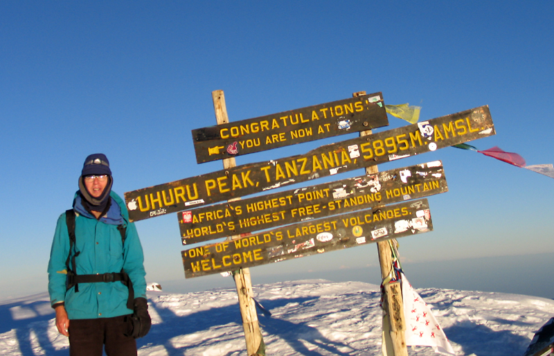
Don't cut off my feet! Anyway that's me at Uhuru Peak, the Kilimanjaro highpoint at 19,340 ft. (5895 meters). It took us 5 1/2 hours from Kibo and we arrived at dawn. It was really cold and difficult to take photos. |
|
|
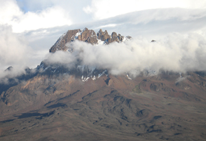
| This is Mawenzi Peak as seen from Kibo Camp. This peak is 16,893 ft. (5149 meters) and is a technical cimb. |
|
 |
|
 |
|
|
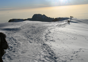
Heading back across the summit ridge with Mawenzi in the background. It takes 1 1/2 hours to get to Gilman's Point on the edge of the mountain. |
|
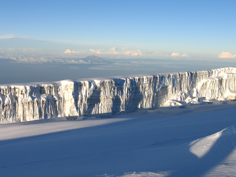
| Looking west across the Kersten Glacier to Mt. Meru, which is 43.3 miles (69 KM) from us. |
|
|
 |
 |
|
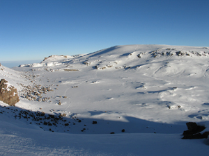
| Looking northeast across to the Reusch Crater. The ash pit is not visible. There is a track in the fresh snow. |
|
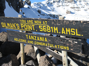
Back at Gilman's Point which we passed by in the dark. Some turn back at this point. 18,638 ft. (5681 meters). |
|
 |
 |
|
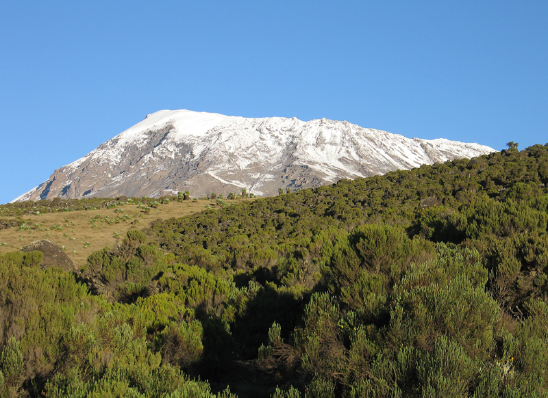
| Kilimanjaro from the ridge above Horombo Camp. |
|
|
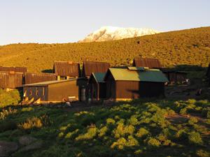
| The huts at Horombo Camp at 12,200 ft. (3720 meters). We camp nearby in our tents. |
|
 |
|
 |
|
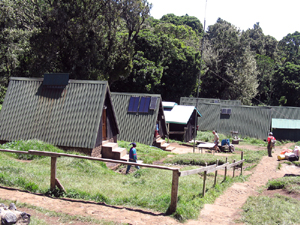
| The Mandara Camp which was a lunch stop on the last day hiking down. Elevation 8920 ft. (2720 meters).
We used Shah Tours & Travel based in Moshi who set up the trip for us. I highly recommended them.
http://www.kilimanjaro-shah.com
One of the better guidebooks is "Explore Mount Kilimanjaro" by Jacquetta Megarry of Rucksack Readers. http://www.rucsacs.com
|
|
|
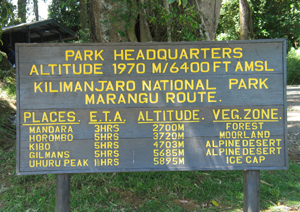
| The sign at the park entrance at Marangu Gate. This is about six hour's hike down from Horombo. Elevation here is 6400 ft. (1950 meters).
Kilimanjaro GPS Route File
|
|
|
|
|
|
|
|
|
|
|
|
|