|
 |
|
 |
|
|
Terry Flood at camp by unnamed lake (Burman #3). This is waypoint PHIL13. |
|
|
|
 |
|
| Camp on ridge above Burman Lake. Golden Hinde in the back. This is at waypoint PHIL16. |
|
 |
|
|
|
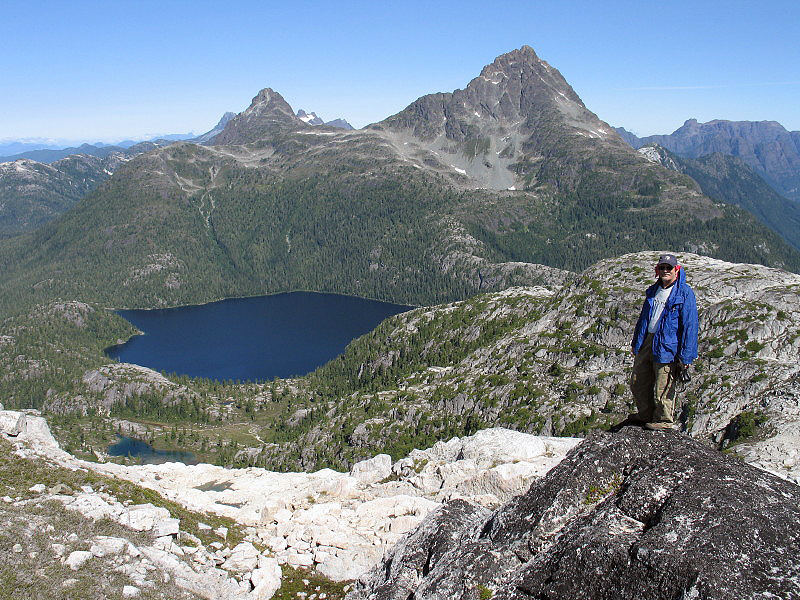
On ridge north of Mt. Burman. Burman Lake and Golden Hinde in view. Small peak to the left of Golden Hinde is The Behinde. |
|
|
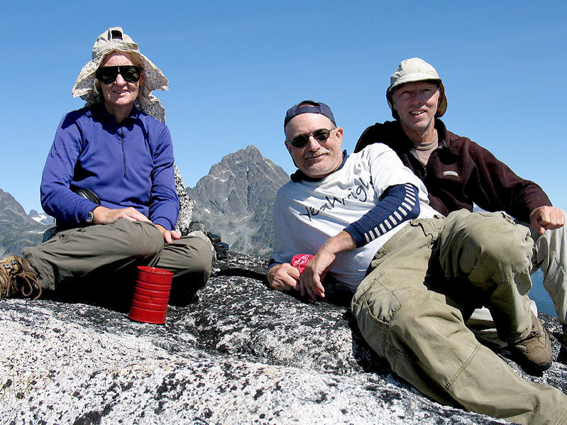
| Shelley Rogers, Terry Flood and Richard Carey at summit of Mt. Burman, 1754 m (5755 ft.) Golden Hinde in back. |
|
 |
|
 |
|
|
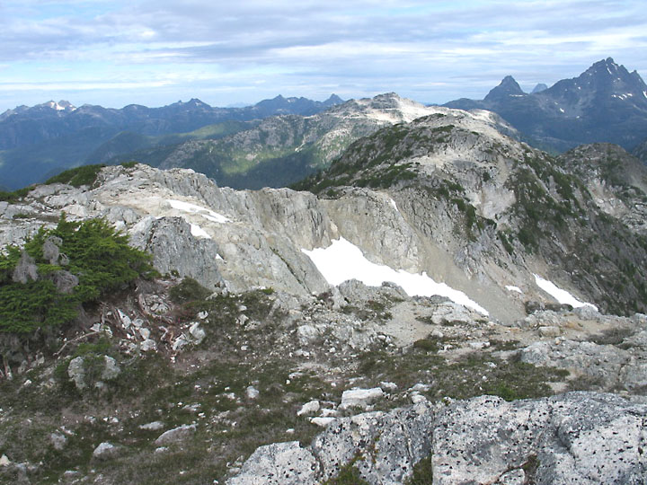
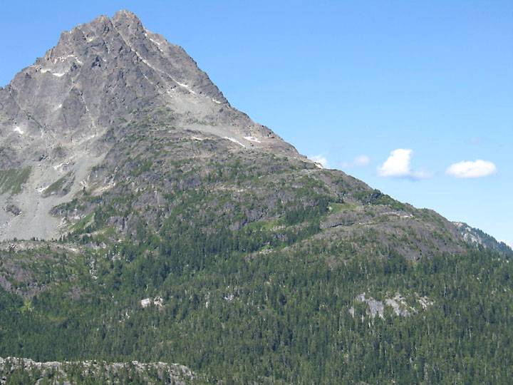
| This is the northern part of Phillips Ridge. View from ridge highpoint which is waypoint PHIL08. Route follows along this ridge then drops steeply down to the valley on the left out of view. |
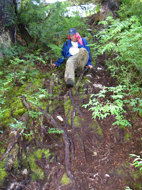
Steep and slippery roots after lots of rain! This is on the way north down to Burman Lake. |
|
|
 |
|
|
|
Best photo of the south ridge of Golden Hinde. |
|
|
|
|
|
|
|
|
|
|
|
|
|
|
|
|
|
|