|
|
|
|
|
|
Tenerife Island travels, January 11-18, 2020
Part 1 - A hike to Punta de Teno and ascent of Pico Teide
These photos are on a group trip run by KE Adventures. Our local guides were from Anaga Experience. The climax of the trip was an ascent of Pico de Teide, highest point on the island. Teide at 12,198 ft. (3718 m) is the highest point of the seven islands and being part of Spain is also the country high point. It is ranked #40 of the world's top 50 prominent peaks.
|
|
 |
|
|
 |
|
|
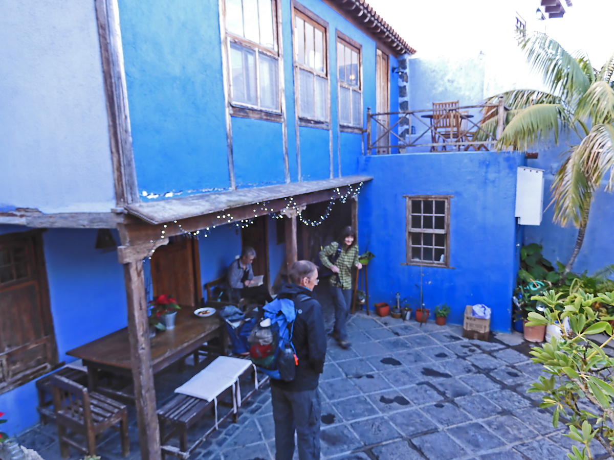
Our first two nights were at a family run guest house in the small hamlet of Chio on the southwest slopes of the island. |
|
|
|
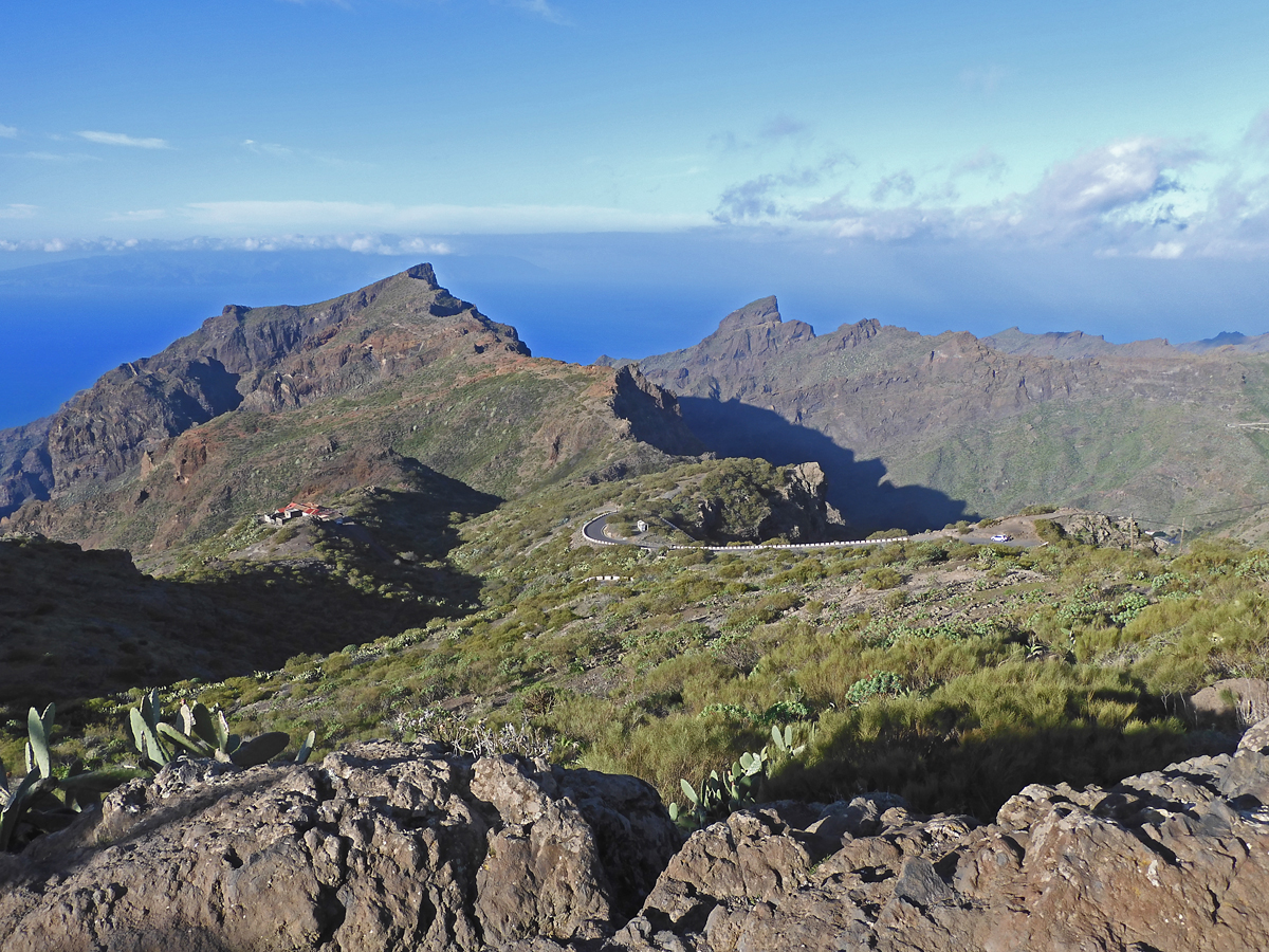
Heading northwest to the first day's hike. The road is narrow and winding through the mountains. A beautiful clear day. |
|
|
 |
|
 |
|
|
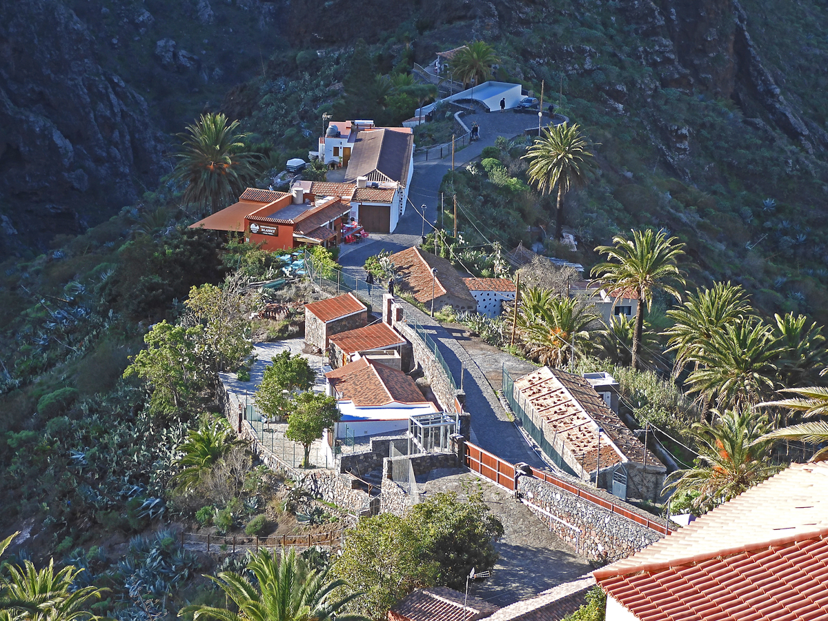
Looking down on Masca a small hamlet perched on a ridge. |
|
|
|
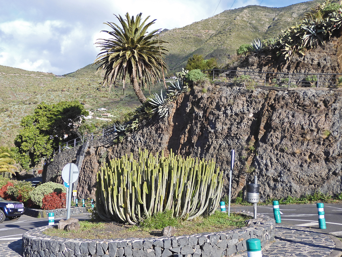
A type of euphorbia on the highway. I am impressed at how well the roads are maintained and marked. |
|
|
 |
|
 |
|
|
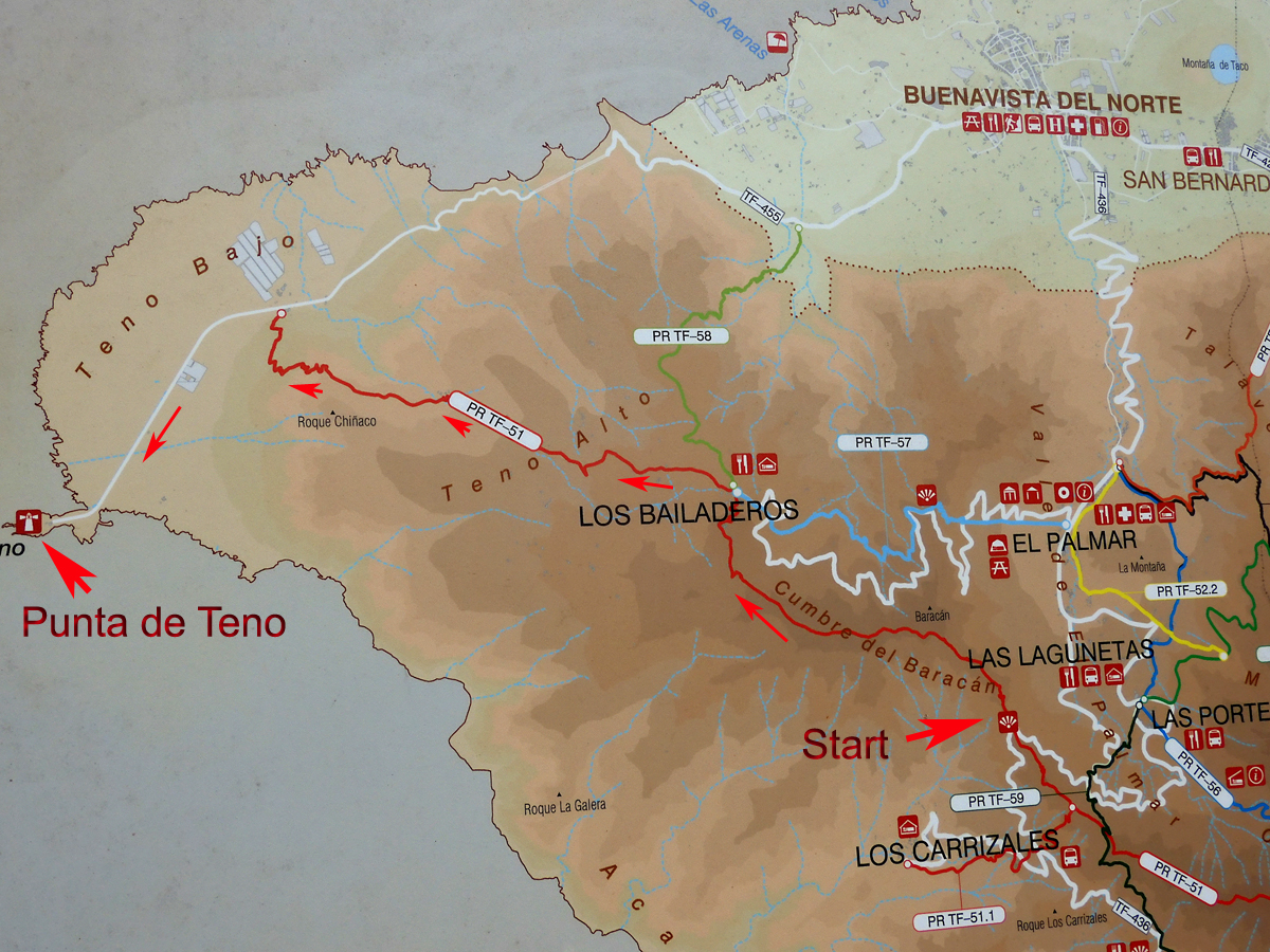
The route is the red line on this map. It is 6.3 miles (10.5km) and climbs up to 3250 ft. (991 m) and then makes a long descent to sea level at Punta de Teno. |
|
|
|
The startting point of our hike at 2720 ft (829 m) at a switchback in the road called Mirador de Baragan. GPS track file for this hike. |
|
|
 |
|
 |
|
|
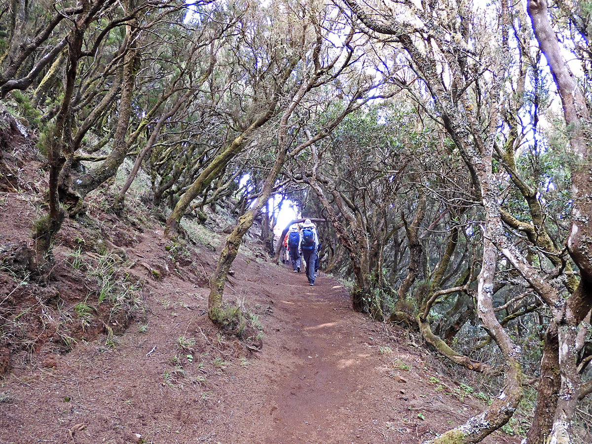
Part of the trail goes through a laurel forest. |
|
|
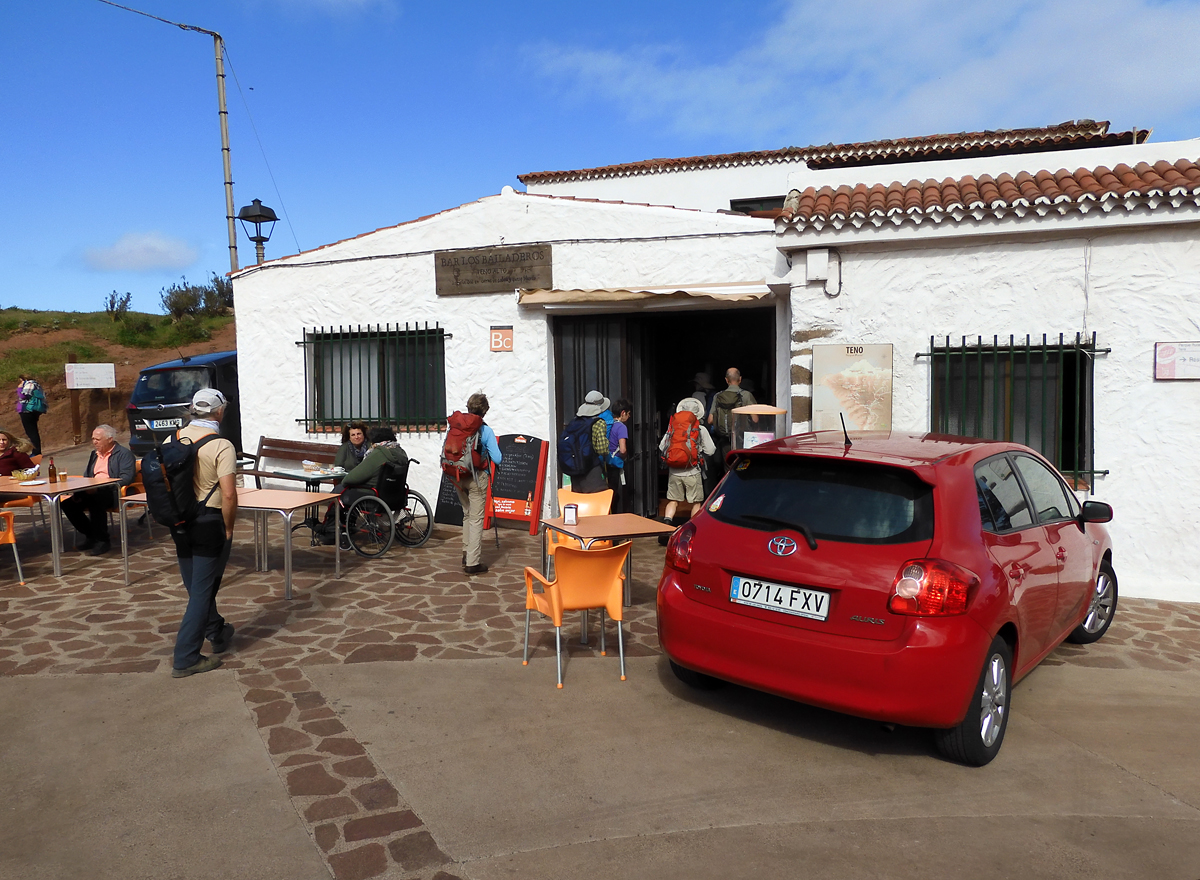
We arrive for a lunch stop at Los Bailaderos, a bar and restaurant are here. |
|
 |
 |
|
|
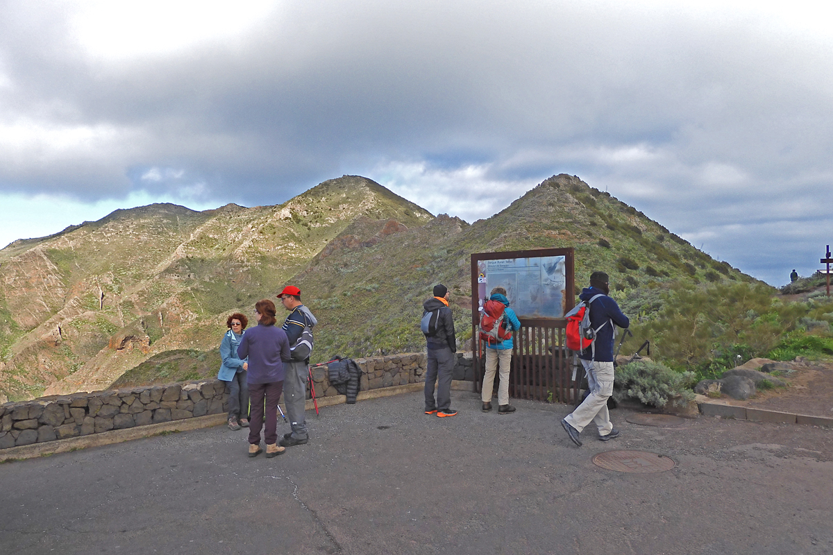
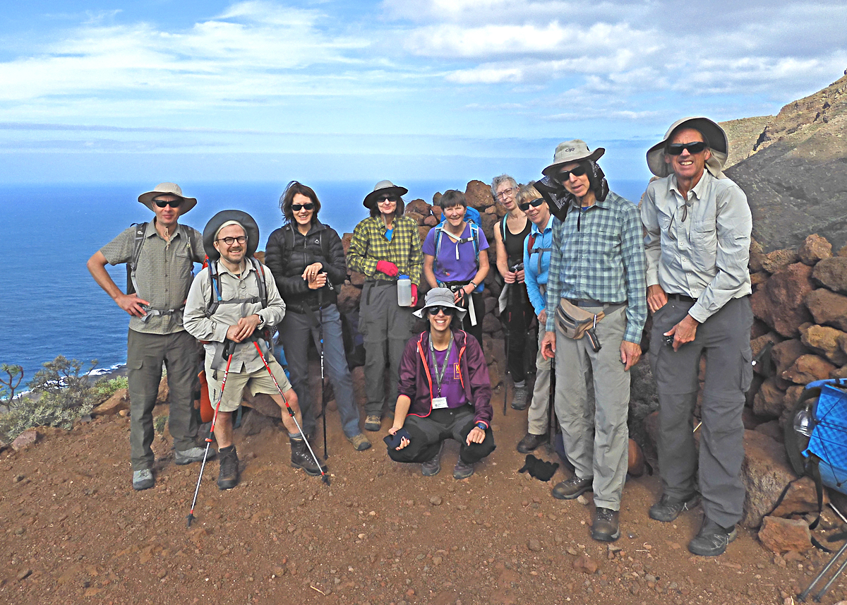
A group photo at a viewpoint. Our group of nine has four from the UK, one from Ireland, one from South Africa and one from New Zealand. Shelley and I are the only ones from the U.S. Our local guide Laura is kneeling in the front and our other guide Cao took the photo. |
|
|
|
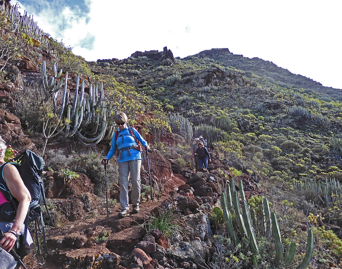
The last part of the trail through a thick growth of cactus and succulents. |
|
|
|
 |
|
 |
|
|
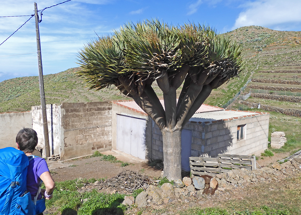
A very nice Dragon tree by a small farm. |
|
|
 |
|
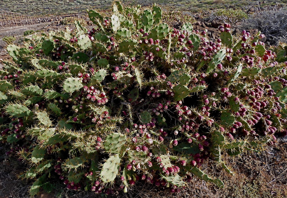
The most fruit I have ever seen on a prickly pear cactus. On the last part of the road to Punta de Teno. |
|
|
 |
|
|
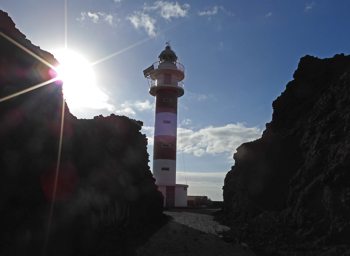
The lighthouse at Punta de Teno which is closed to public access. |
|
|
 |
|
|
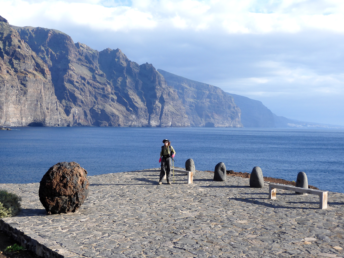
Shelley at Punta de Teno. High cliffs to the south are called Los Gigantes. |
|
|
 |
|
|
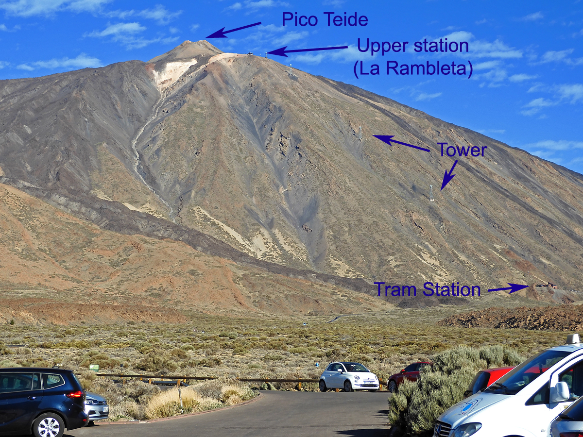
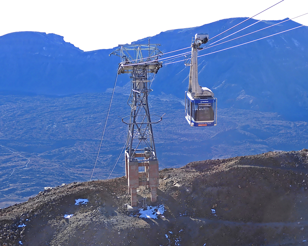
The second day we start our hike up to the Refugio on the side of Teide. This is our first view of the mountain.There is a tramway which takes people up 3934 ft. (1200 m) in 8 minutes. |
|
|
 |
|
|
We start at 7070 ft. (2155 m) and hike to the Alta Vista Refuge which is at about 10,723 ft. (3268 m). The route is a good trail all the way and is 8.3 mi. (13.8 km) and takes us 7 hours with about a half hour break for lunch. GPS track file |
|
|
 |
|
|
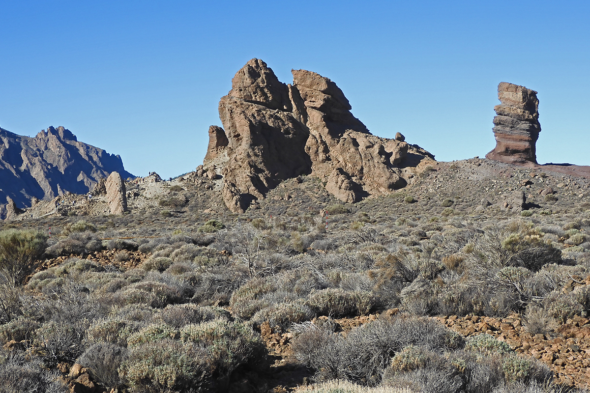
Rock formations near the parking area. |
|
|
 |
|
|
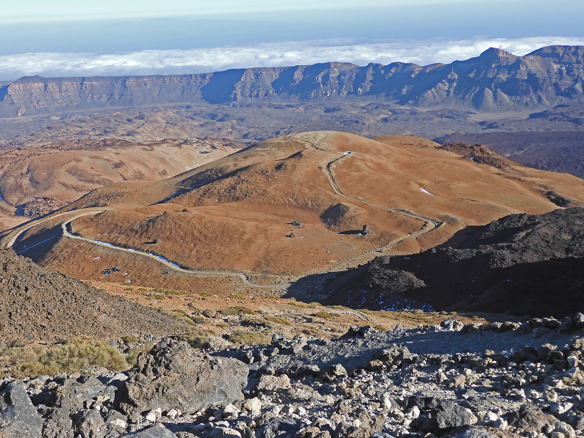
On the trail looking down at the road we hiked on the left. |
|
|
 |
|
|
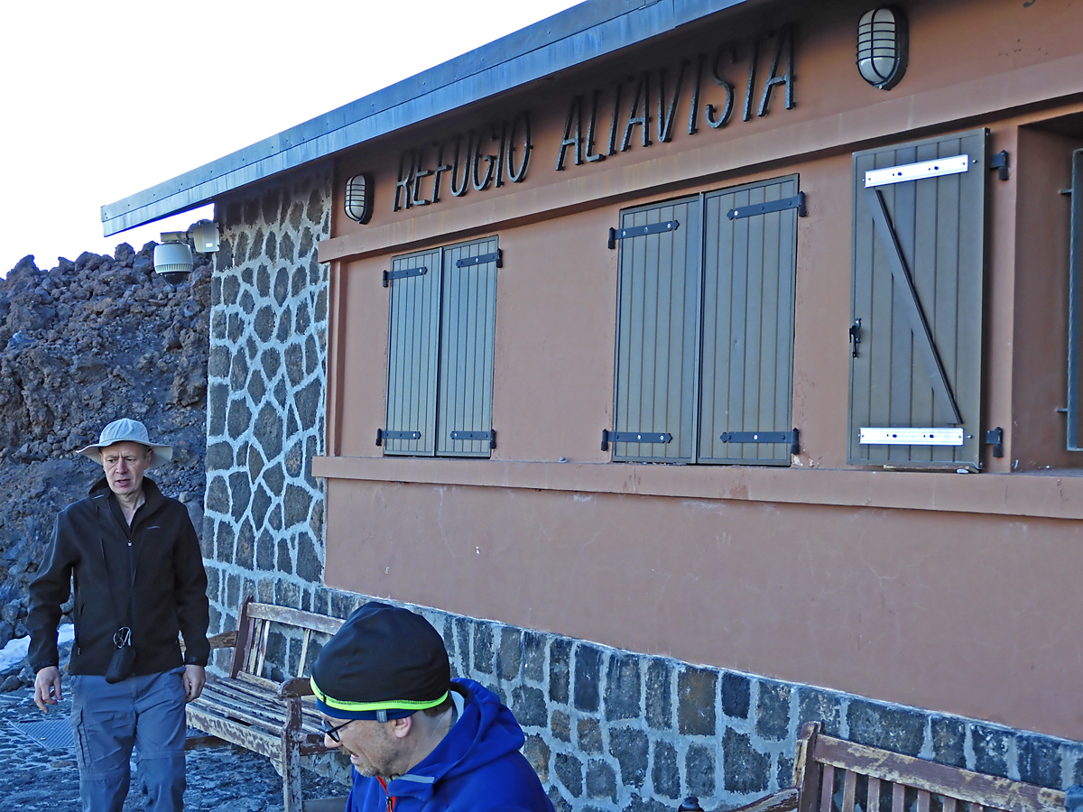
After seven hours we're finally at the Alta Vista Refuge. It is a busy place with other climbers already there. Elevation there is 10,723 ft. (3268 m). |
|
|
 |
|
|
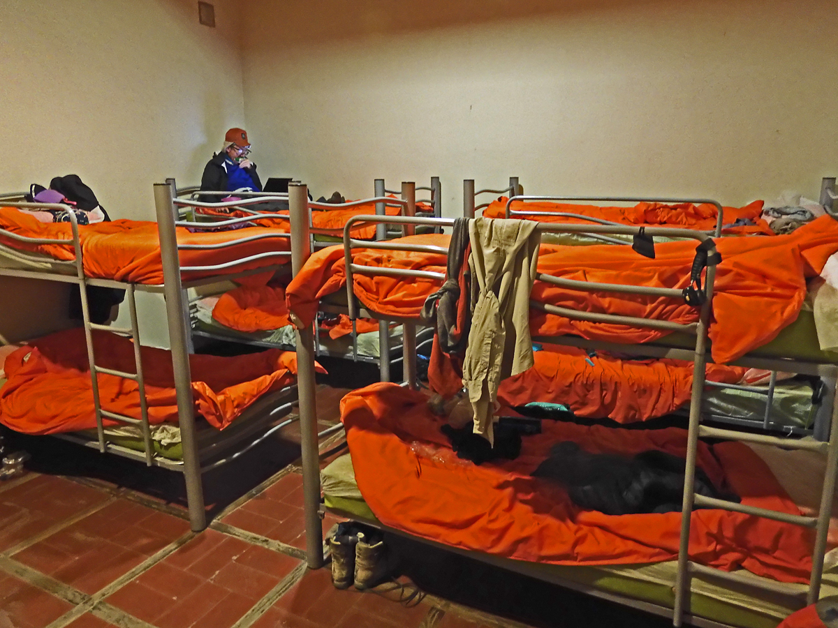
One of the bunk rooms with 14 beds. The refuge has WiFi, good water and electric power for a microwave oven and hot pot. |
|
|
 |
|
|
Since I was quite slow and my foot was hurting I took a tram car down. It cost 15 euros. Our guide Laura accompanied me. The rest of our group went with Cao on a long descent route. |
|
|
| Pico de Teide is a very popular climb with hundreds climbing it each year. There is a lot of infromation about the peak and numerous trip reports on the Peakbagger.com website: https://www.peakbagger.com/peak.aspx?pid=11300 |
|
|
|
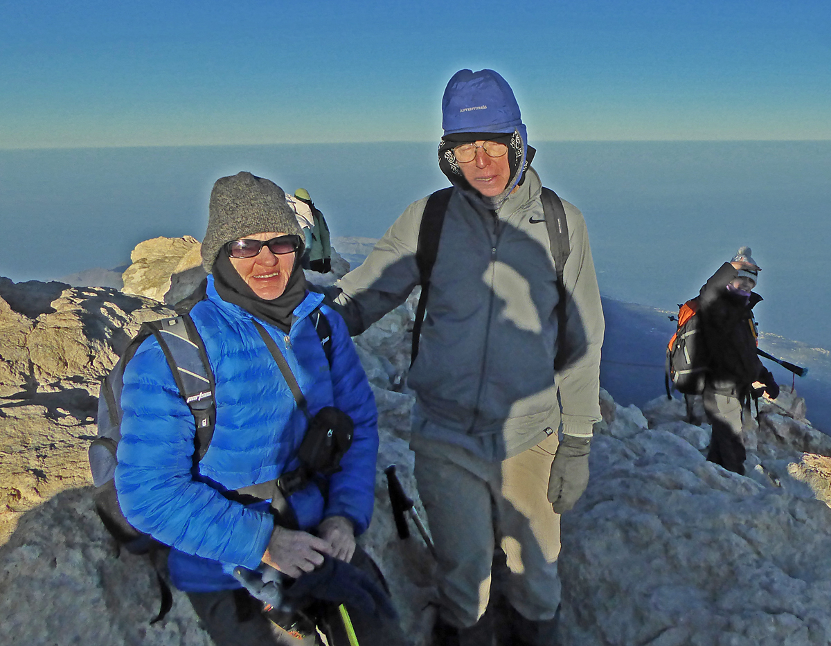
Shelley and I at the summit. Everyone made it and I was the slowest and last to arrive. Took me 2 hours 35 min. and most of the group were at least 15 minutes faster. The route from the refuge was 1.7 miles (2.8 km) with an overall gain of about 1370 ft. (417 m). GPS track file from refuge to summit. |
|
|
|
|
|
|
|
|
|
|
|
|
|
|
|
|
|
|
|
|
|
|
|
|
|
|
|
|