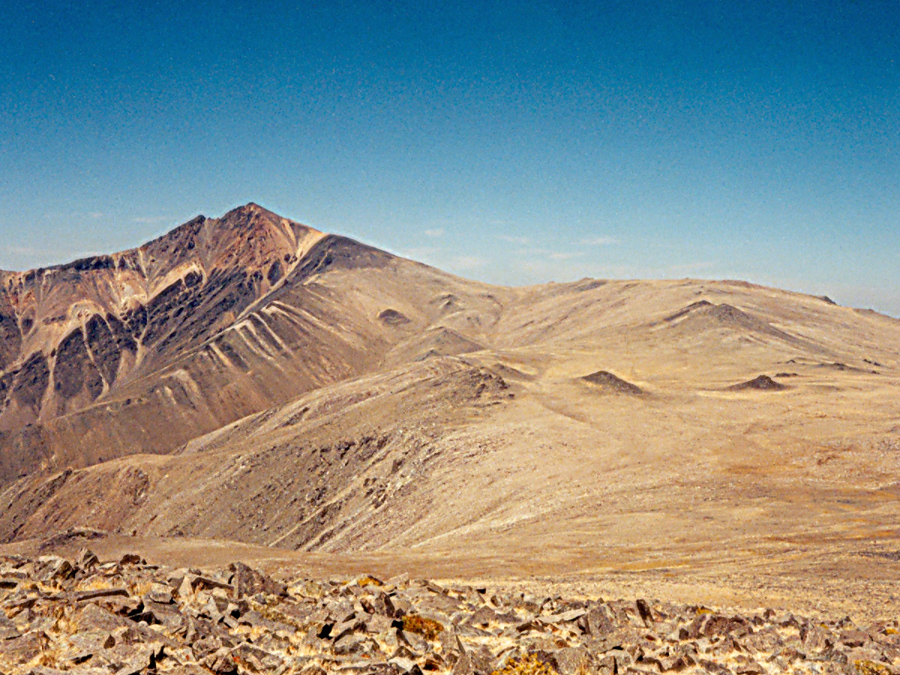
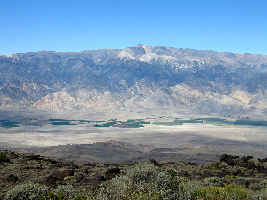
Located in the Inyo National Forest. The prominence value is 7196 ft.
Highpoint of Mono County and the White Mountain Range


In the University of California White Mountain Scientific Area. The area is open to hiking or mountain biking. There is a locked gate at the entrance to the Scientific Area. A stone hut was built at the summit sometime between 1950 and 1958 which resulted in destruction of the benchmark. A reference mark stamped 14242, dated 1913, can be found north of the hut.
To reach the trailhead at the locked gate to the Research Station drive east from Big Pine on route 168 toward Westgard Pass. After about 13.5 miles turn left on the paved road toward the Ancient Bristlecone Pine Forest. Continue north on this road which is good graded dirt past the Shulman Grove visitors center. It is about 27 miles from route 168 to the gate at the Research Station. Through most of the summer months this road is suitable for passenger cars. Park at the parking area by the gate and signed entrance to the Research Station and walk up the road past the Barcroft Lab buildings and over a hill with an observatory dome on your right. The summit will come into view at this point and is about another 4.5 miles on an old road. The hike to the summit takes about 3 to 3 1/2 hours and allow about 3 hours for the return hike. The round-trip distance is 14 miles with an elevation gain of about 2950 ft. counting two drops along the way. This route is high and exposed and hikers can encounter heavy wind and cold temperatures any time of year. Be prepared with extra warm clothing. Afternoon storms with lightning are another hazard. Much of this route would be suitable for a mountain bike although there is a lot of loose rock near the summit. This hike is described in the book "California Hiking" by Stienstra and Hodgson. See page 457. 9/98 RLC