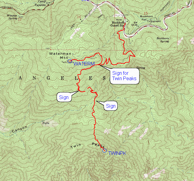
Route to Mt. Waterman and Twin Peaks, Angeles National Forest
GPS track of hike shown in red on portion of Mt. Waterman topo map
|
Route to Mt. Waterman and Twin Peaks, Angeles National Forest
GPS track of hike shown in red on portion of Mt. Waterman topo map |
||||||||||
|
||||||||||
|
||||||||||
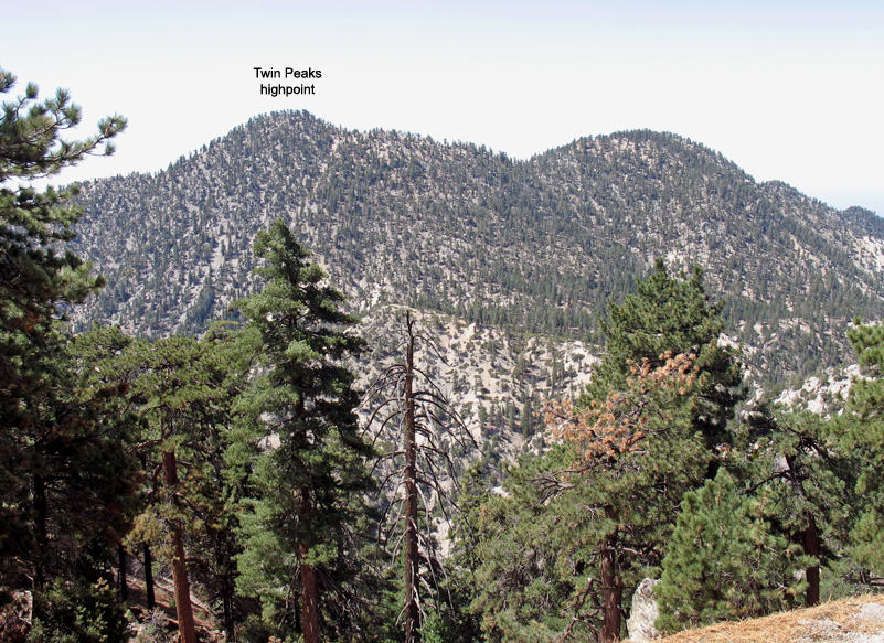
| View looking south to Twin Peaks from ridge on Mt. Waterman trail. | ||||||||||
|
|
|||||||||
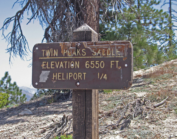
| Sign at saddle. It's a steep climb of 1200 feet up to Twin Peaks from here. | ||||||||||
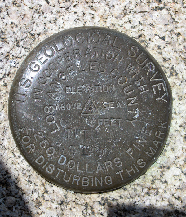
| Twin BM on Mt. Waterman. About 100ft. west of the rocks at the highest point. | ||||||||||
| Map and photos by R. Carey, May 30, 2007. | ||||||||||