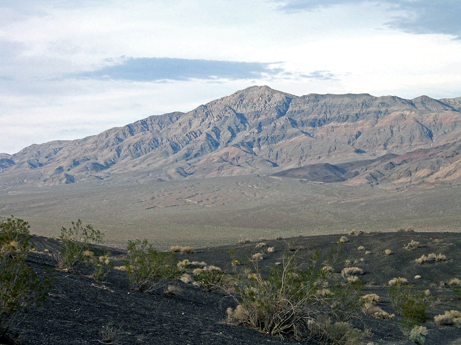
In the Last Chance Range in Death Valley National Park
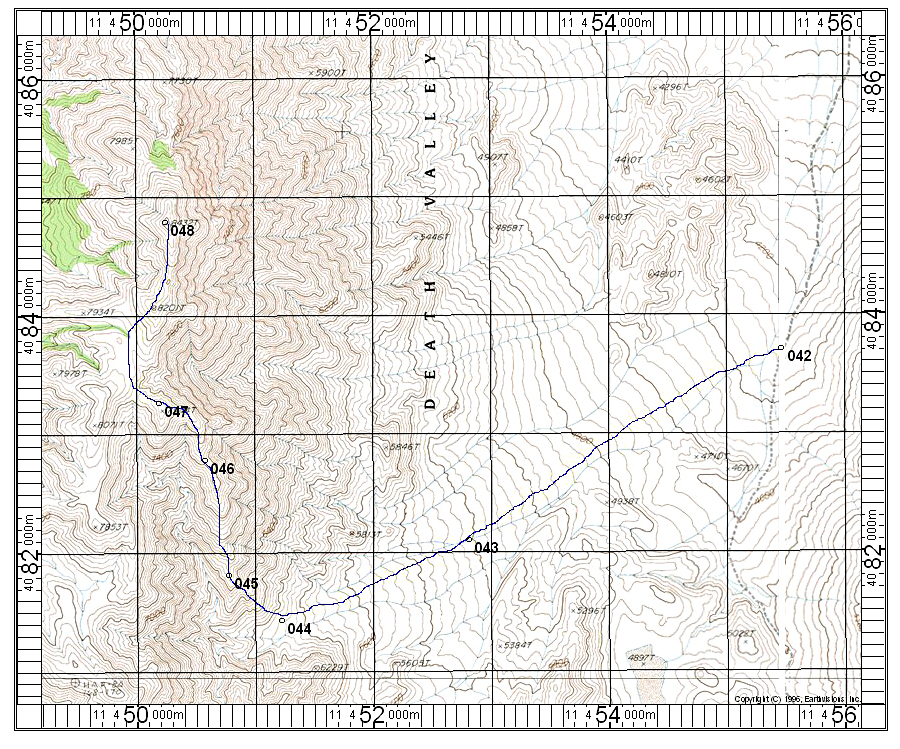
Driving Directions: Take the Racetrack Road south from Ubehebe Crater. Drive for 8.8 miles and park at a small pullout on the west side. This is point 042 shown on the map. Camping is OK here. The road although marked for 4X4 vehicles can be driven in a sedan. It is dusty with washboard surface.
Hiking Route: Hike southwest up the long slope to the base of the mountain at point 044. This ridge is longer than other routes, but is easy. Go up the ridge to a flat area past point 047 then turn slightly NE along the ridge to the summit. The route is 13.2 miles round-trip with a gain of about 4200 feet. It takes about 4 1/2 hours up and 3 1/2 hours down. Those with time and energy can go on to Dry Mountain heading west from north of point 047. This will add about 4.6 miles with a gain of 1600 feet. 4/2013 RLC