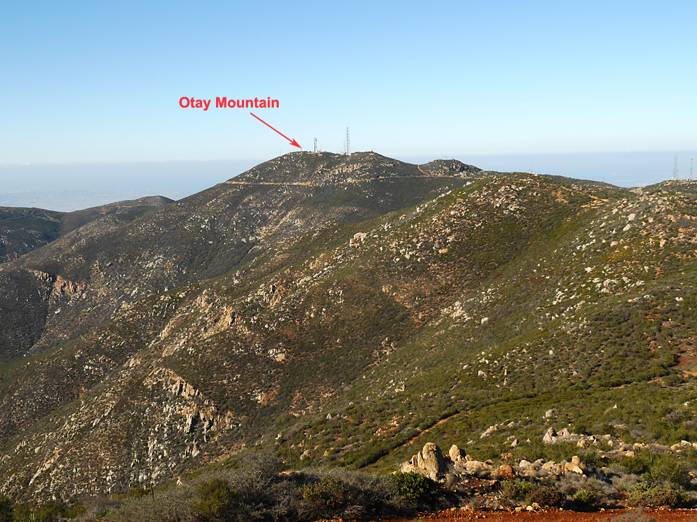
Otay Mountain, 3569 feet, (1088 m), San Diego County, California
Located on BLM land in the center of the Otay Mountain Wilderness
Highest point in the San Ysidro Mountains
|
Otay Mountain, 3569 feet, (1088 m), San Diego County, California
Located on BLM land in the center of the Otay Mountain Wilderness Highest point in the San Ysidro Mountains |
||||||||
|
||||||||
| A view looking west at Otay Mountain from Peak 3551 ft. There are roads up to the summit from the east and west that are open. The road from the north is usually closed. A high-clearance vehicle is advised and four-wheel drive is not needed. The high point is in a group of boulders close to and just south of a fenced radio tower. Here is a map of the Wilderness area: Otay Mtn Wilderness | ||||||||
|
||||||||
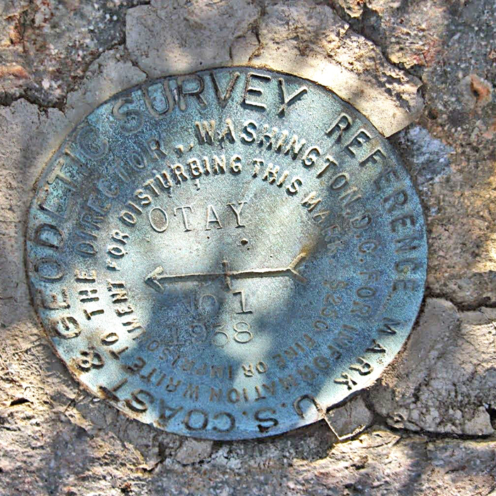
| This is Otay Reference Mark #1. The primary benchmark is missing. Placed in 1938. Datasheet Photo by Neal Matthys on January 3, 2015. | ||||||||