Located in the Inyo National Forest. The prominence value is 2339 ft.
West side climb description:
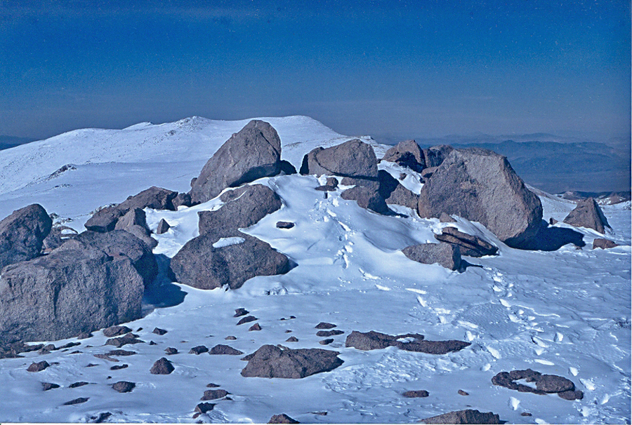
The route describe here ascends the west side on a ridge north of Queen Dick's Canyon. To reach the trailhead take route 6 north from Bishop, California. Turn off the highway at about 28.4 miles from Bishop at a dirt road on the right with an unlocked gate. This point is also 0.4 miles north of milepost 20 on the highway. After closing the gate bare right at a junction a short distance from the gate and head northeast. Also go right at junctions at 0.4 miles and 2.0 miles. At 3.0 miles there is a stream crossing with some brush. I parked here, but you can continue past the stream for about another 0.3 miles to where the road turns north at the mouth of a canyon. A high-clearance vehicle is needed for this drive in. Start the ascent by crossing the stream at the mouth of the canyon and head southeast on a use trail up a steep slope along a ridge. Stay on the ridge and gradually turn due east. At about 10,000 feet there is more open ground along the ridge. Continue climbing along the slopes as you turn northeast parallel with Queen Dick's Canyon on your right. The summit with the register is the northernmost of three rock piles on the broad open summit plateau. This hike is strenuous with 7000 feet of gain over 4 miles. (8 miles round-trip) The ascent took me 8 hours hindered somewhat by foot deep snow near the top. The descent took 4 1/2 hours. Take GPS waypoints on the way up so you don't head down the wrong ridge.