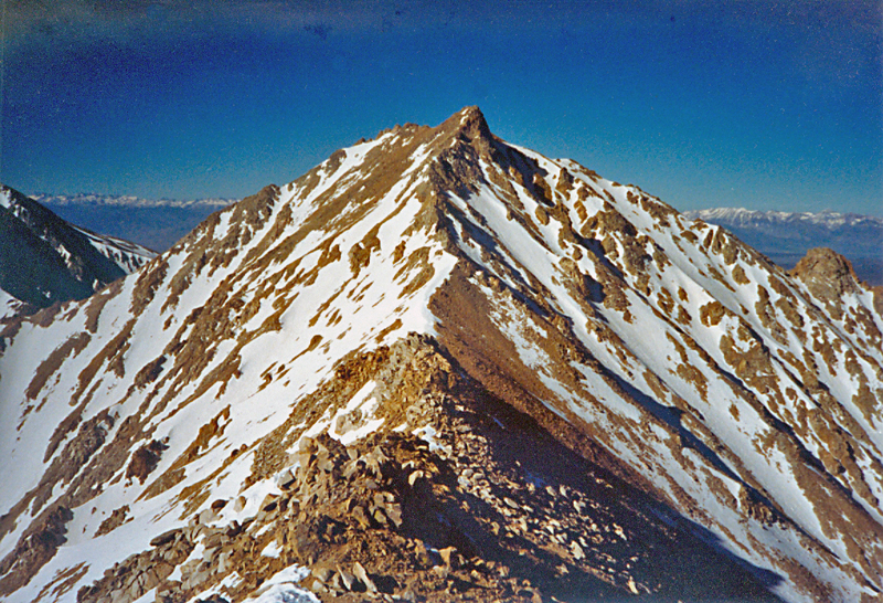
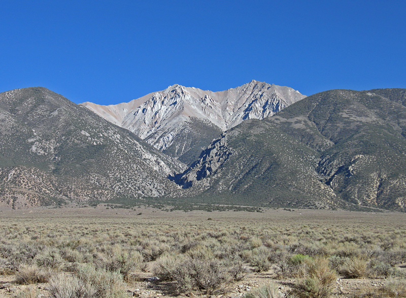
In the Inyo National Forest. At the north end of the White Mountains
Note, the directions below are for Boundary Peak. After reaching Boundary you can hike the ridge to Montgomery. The distance is about 0.8 miles with a drop of about 250 ft. then a gain of about 600 ft.to the summit.
Located in the Boundary Peak Wilderness area of the Inyo National Forest. Open to hiking and permits are not required. For further information contact the Forest Service office in Bishop at: 873 North Main St., Bishop, CA. 93514 Tele: (760) 873-2500
At the north end of Bishop, California drive north 33.8 miles on route 6 to Benton. Continue north and at 9.0 miles from the junction with route 120 in Benton cross the California-Nevada state line. From the state line it is another 2.5 miles to the junction with forest road 1N14 on your right. There is no sign, but across the highway is a sign for Janies Ranch, a former brothel. (No sign in 2012) Turn right (east) on this good dirt road and bear left at a junction in 1.3 miles. Continue into Queen Canyon staying on the better dirt roads and gaining elevation until you reach a flat spot by the Queen Mine after 6.1 miles. UTM here is: 384200E, 4194140N (NAD27). Two wheel drive cars and trucks should park here, 4wd vehicles can continue up the grade around a tight switchback to the saddle at almost 9800 ft. Total dirt road driving distance to this point is 7.3 miles. Park here and start the hike heading south past some mine diggings and up the slope on a use trail. Turn southwest at the 10,600 ft. level along the ridge and then contour left around an unnamed peak to Trail Canyon Saddle shown on the topo map. From here head south up the steep slope gaining about 1200 ft. to a minor bump and then climb another 600 ft. or so and turn southwest for the final slope to the summit. Hiking time to the top on this 3 3/4 mile route is about 4 to 5 hours with an elevation gain of 3350 ft. 7/98 RLC