Monserate Mountain, 1567 ft., California, northern San Diego County
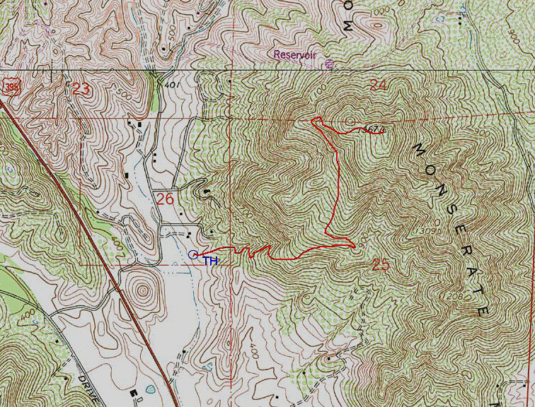
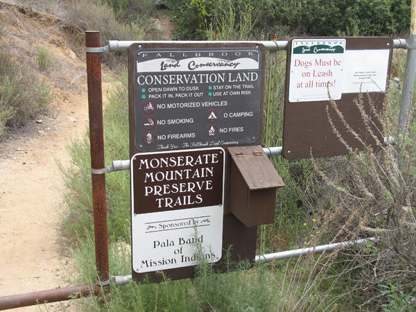
Driving Directions: Exit from Interstate 15 at Pala Road and drive west to Old Highway 395 and turn right (north). Drive 2.6 miles then turn right on Stewart Canyon Road and go east under the Interstate to Pankey Road. Turn right and park on the right. The start of the trail is across the street and is marked by a sign, (See picture below).