Sherman Peak (LO site), Tulare County, California, Elev. = 9918 ft.
Located in Sequoia National Forest
|
Sherman Peak (LO site), Tulare County, California, Elev. = 9918 ft.
Located in Sequoia National Forest |
||||||||||
|
||||||||||
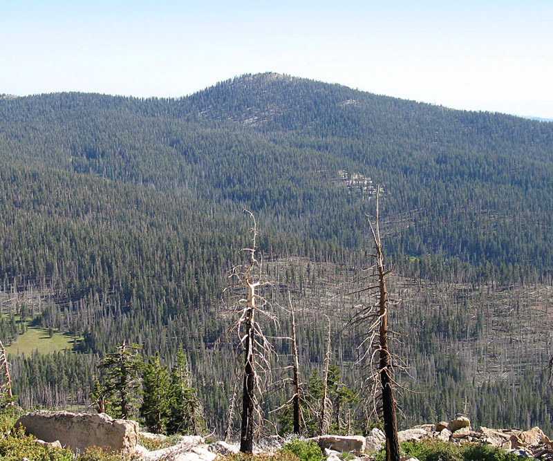
| This view shows the north side of Sherman Peak from Lookout Mountain. Photo taken June 22, 2013. | ||||||||||
|
||||||||||
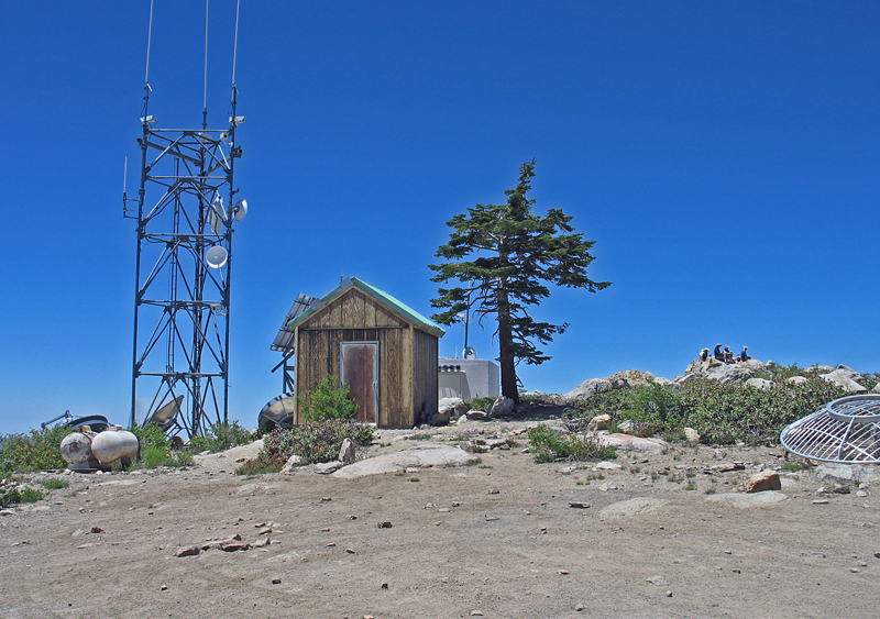
| The summit of Sherman Peak with the highest point in the rocks in back on the right side. The lookout tower was a log building about 20 feet high built prior to 1936 and was 90 feet west of the highest rock pile. It was standing in 1952 but had fallen down when surveyors visited in 1962. Photo June 22, 2013. There is a good hiking trail to the summit from Sherman Pass. The trail is 6 miles round-trip with a gain of about 800 feet. If you have a Jeep or ATV there is a driving route on trail 33E29 which starts about 5.2 miles down west from Sherman Pass. | ||||||||||
|
||||||||||
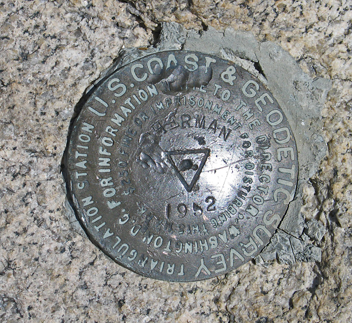
| Sherman BM at the highpoint placed in 1952. Datasheet | ||||||||||