North Chalone Lookout, on Monterey and San Benito County boundaries, California
Elevation = 3307 ft.
Highest point in Pinnacles National Moument

|
North Chalone Lookout, on Monterey and San Benito County boundaries, California
Elevation = 3307 ft. Highest point in Pinnacles National Moument |
|||||||||||
|
|||||||||||
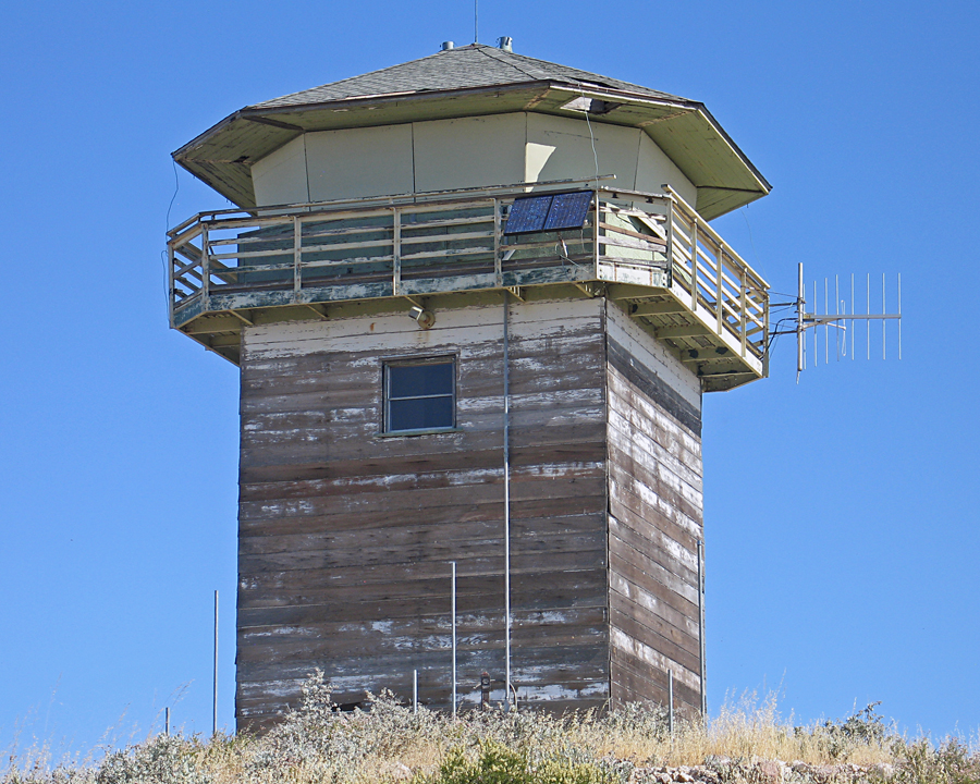
| North Chalone Lookout is in fair to poor condition and is not staffed. The lookout is under the control of CalFire. Photo by Richard Carey, June 23, 2010. The summit can be hiked from the Bear Creek Picnic Area in Pinnacles Monument. The trail is in good condition to the top. It is 4 miles one-way with an elevation gain of about 1800 ft. Allow 2 1/2 hours for the ascent and take plenty of water! | |||||||||||
|
|||||||||||
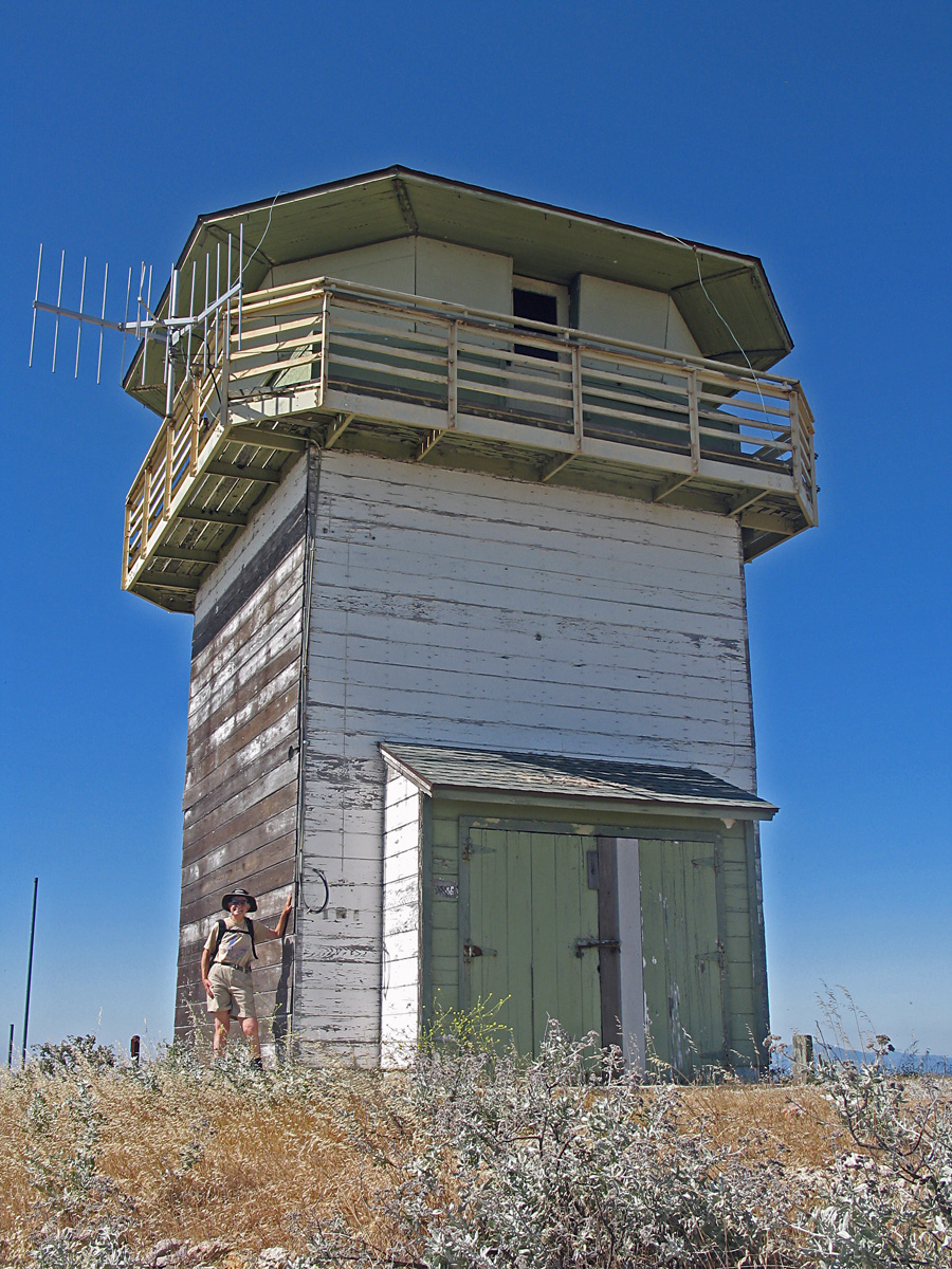
| Gail Hanna on the east side of the lookout. The building is 16 feet square by 20 feet high. and was built in 1952. This lookout is on the National Historic Lookout Register #396. | |||||||||||
|
|||||||||||
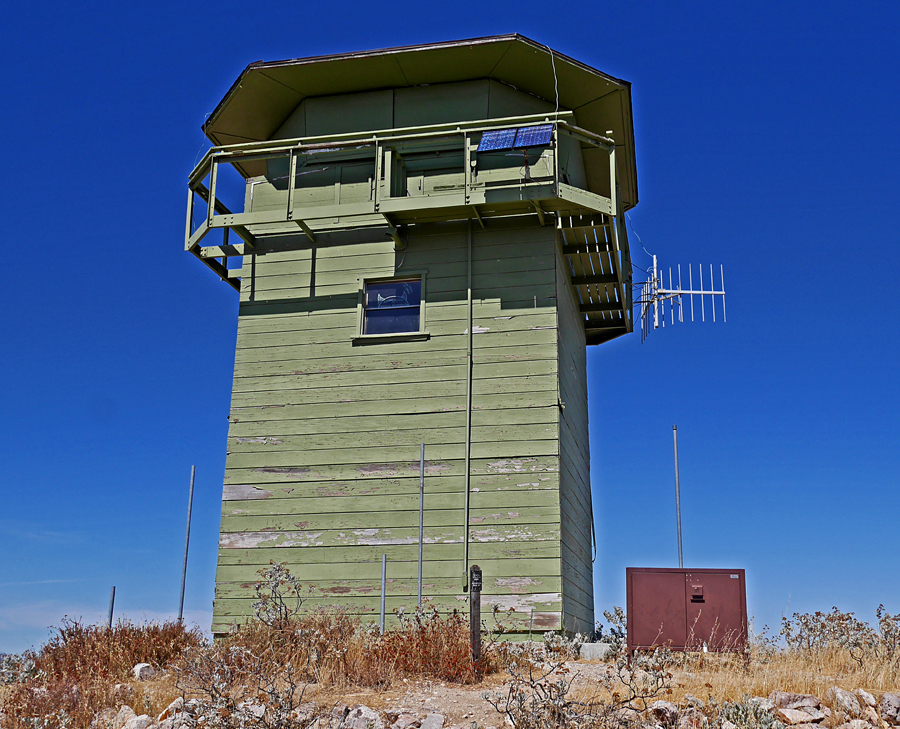
| A more recent photo of the lookout taken on September 24, 2017. It looks like a coat of paint was added some time ago. There is also a bear box which indicates that people may be camping at the site. There is no water available if you plan to camp there. | |||||||||||
|
|||||||||||
| Looking north at North Chalone Peak from South Chalone Peak. There is a trail part way to the south peak which starts by the gate below the lookout. After descending about 400 ft. it is best to follow the fence line up to the summit since the trail curves around the mountain and does not go to the top. | |||||||||||
|
|||||||||||
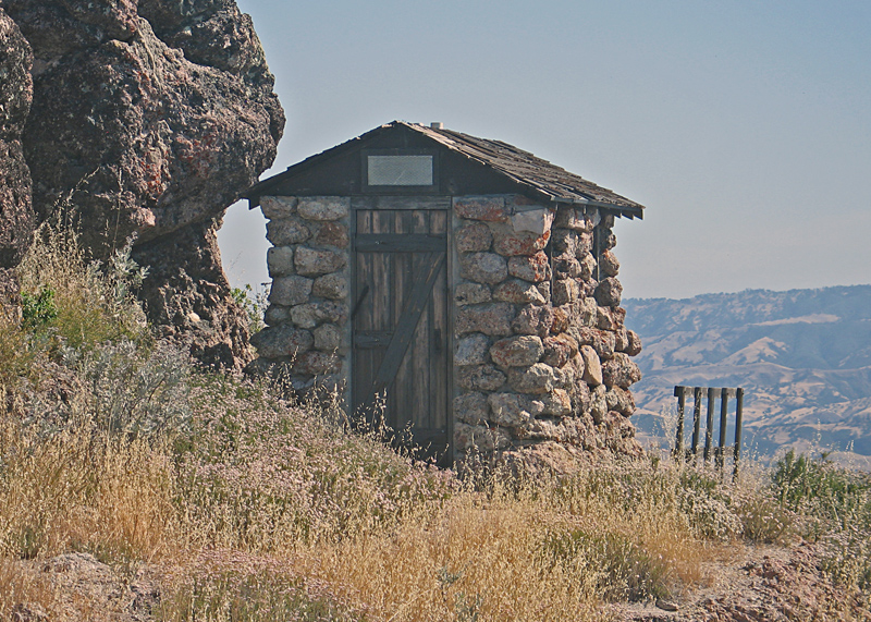
| The outhouse for North Chalone Lookout which is open and useable. | |||||||||||
|
|||||||||||
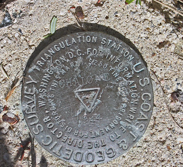
| The Chalone benchmark was placed in 1944 on the south side of the lookout. Datasheet: GU3649 | |||||||||||