|
|
|
|
|
|
Volcan las Tres Virgenes, Baja California Sur, Mexico
El Vizcaino Biosphere Reserve, Elevation = 6401 ft., 1951 meters
|
|
 |
|
|
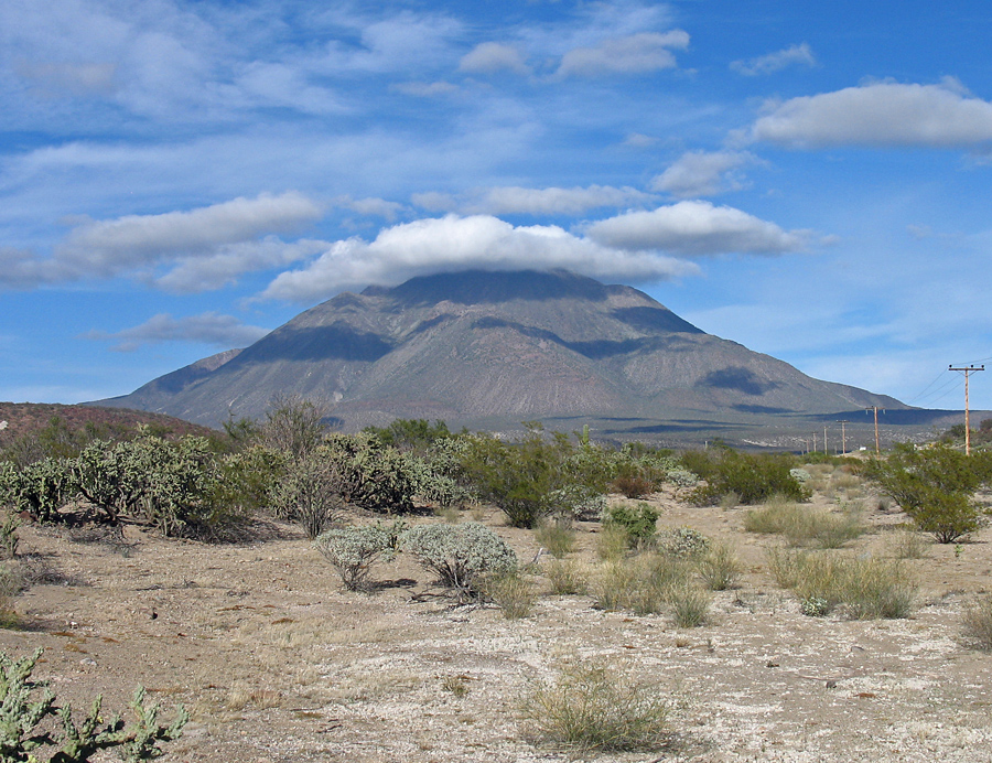
The impressive hulk of Tres Virgenes as seen from Highway 1, southwest of the mountain at the turnoff for the dirt road leading to the west side. The turnoff is just west of the KM 46 sign. Drive north 6.8 mi. (11.3 km) on a fair dirt road to the camp spot and starting point for the ascent. |
|
|
 |
|
|
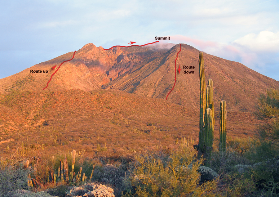
The view of our route on the mountain from the camp spot at 6.8 mi. The text has more detail on the route. The traverse is tough with scrambling on a rocky ridge and heavy brush. |
|
|
|
 |
|
|
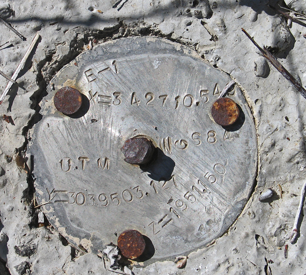
| The benchmark disk at the summit. It has UTM coordinates using WGS84 datum as follows:
Easting: 342710.549 meters
Northing: 3039503.127 meters
Elev.: 1951.150 meters
My GPS unit agreed with the coordinates to better than one meter. Most maps show the elevation as 1920 meters, but I feel this is a more accurate number. Photo on Feb. 10, 2009.
There is a GPS waypoint file available for this route: TresVirgenes.gpx
|
|
 |
 |
|
|
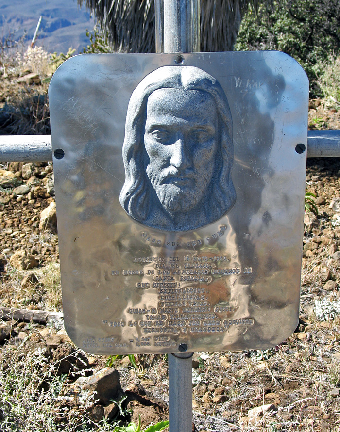
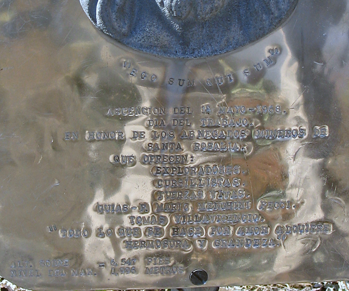
The text of the commorative sign at the summit shown on the left. Placed in May, 1968 in memory of miners of nearby Santa Rosalia. The elevation shown is much higher at 1996 meters. |
|
|
|
 |
|
|
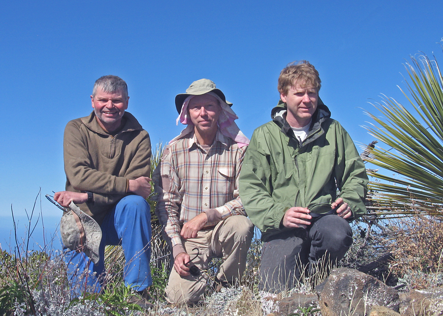
| From the left: Mark Adrian, Richard Carey and Edward Earl on the summit after 6 1/2 hours of climbing. It took us 4 hours to descend the west ridge. The elevation gain was about 4800 ft. It's a tough hike with lots of thorny cactus , loose boulders and pumice. Take plenty of water! |
|
 |
|
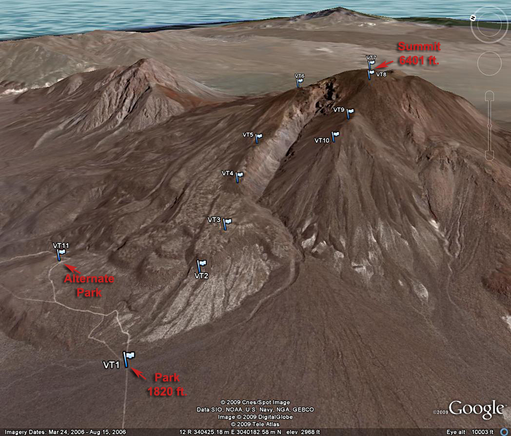
| Google Earth Image with GPS waypoints of our route. Parked and camped at VT1. An alternate and higher campsite is VT11. From VT1 to VT4 is thick cactus and trees. The terrain is easier from VT4 to VT6. At VT6 we went east and south up steep slopes around a small peak. Then we descended across a rocky ridge and up to another small summit. From there we pushed through heavy brush across a flat area and up nearly to the summit at VT7. We went west to VT8 and down to VT10, a small peak on the ridge, then a long and tedious descent to the wash shown coming out of the canyon. The wash can be followed back to the camp at VT1. |
|
|
|
|
|
|
|
|
|
|
|
|
|
|
|


