Sierra el Mayor, Baja California Norte, Mexico, Elevation = 950 m (3117 ft.)
Located about 60 km (36 miles) south of Mexicali

|
Sierra el Mayor, Baja California Norte, Mexico, Elevation = 950 m (3117 ft.)
Located about 60 km (36 miles) south of Mexicali |
|||||||||||
|
|||||||||||
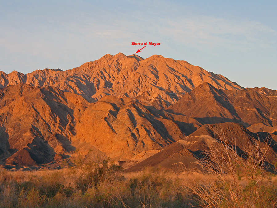
| View looking west at Sierra el Mayor at sunrise. The starting point for the hike is off to the right. We climbed the peak on February 20, 2010. We had a local guide, Alejandro Torres Garcia who can be reached at: 6861-110992. He does not speak English and lives in El Mayor. | |||||||||||
|
|||||||||||
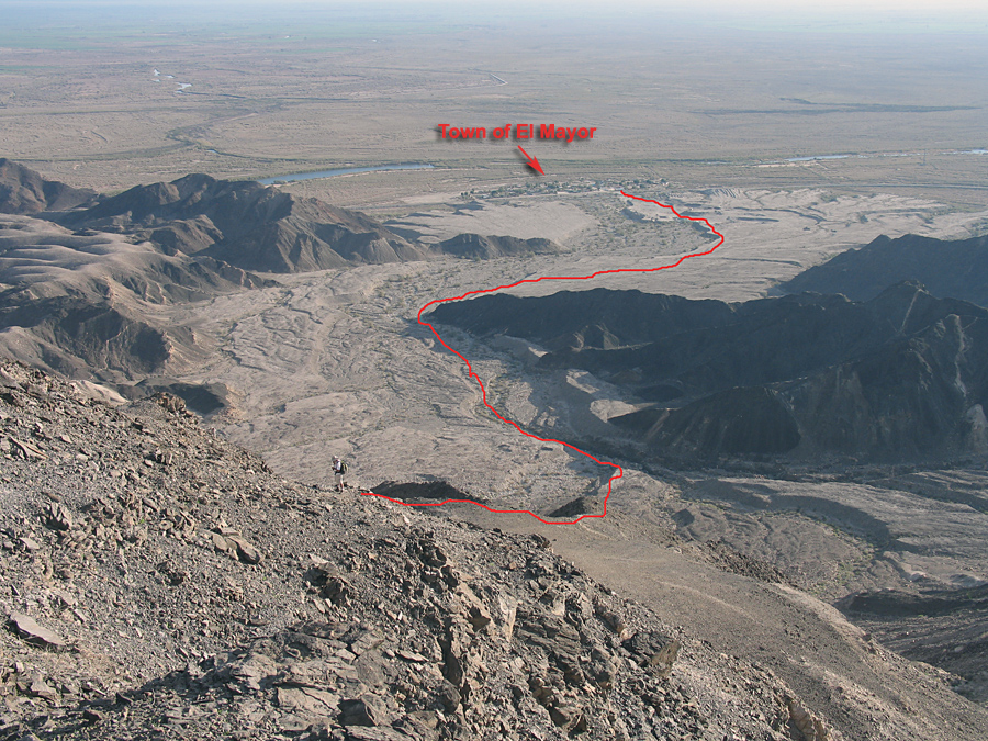
| The route goes west through a gravel pit then right around the end of a low black ridge then southeast in a broad wash. We soon climbed out of the wash on the route shown up to a ridge top. | |||||||||||
|
|||||||||||
| Terry Flood coming up the ridge. Our route from the town is shown. | |||||||||||
|
|||||||||||
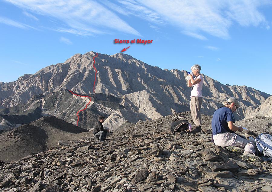
| A rest break on the black ridge. The summit is still a few kilometers away. Approximate route shown. | |||||||||||
|
|||||||||||
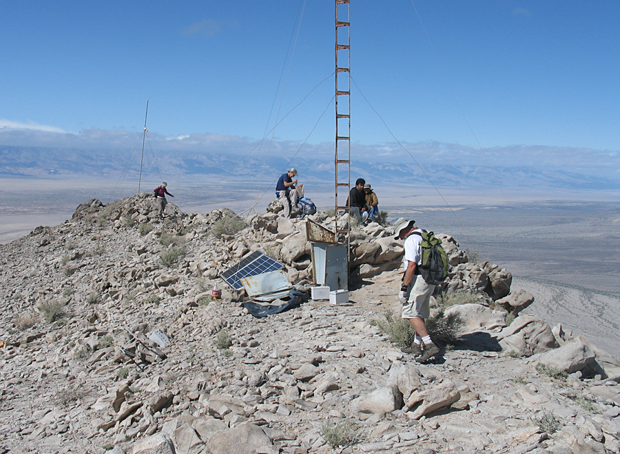
| We reached the summit after about 4 3/4 hours hiking. Abandoned radio gear on top. Amazing views of the Gulf to the east and the Sierra Juarez to the west. We found a register and improved the container. | |||||||||||
|
|||||||||||
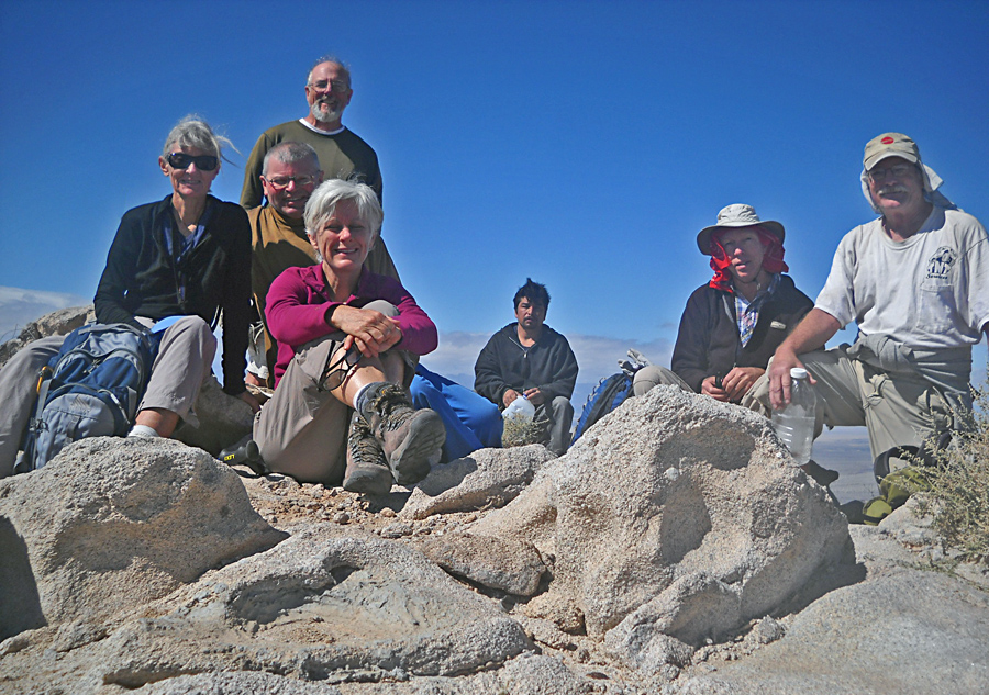
| Our group on top. From the left: Shelley Rogers, Mark Adrian, John Strauch (in back), Martha Woodworth (in front), Alejandro Garcia, Richard Carey, Terry Flood. Photo by Mark Adrian using timer. | |||||||||||
|
|||||||||||
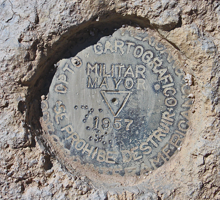
| The benchmark at the top, placed in 1957. | |||||||||||
|
|||||||||||
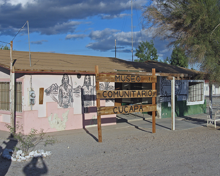
| The museum in the small town of El Mayor. You can leave your car safely here. Leave a tip for the lady proprietor if you don't go with a local guide. The town and museum are 70 km (42 miles) south on highway #5 from the border crossing in Mexicali. Map of hiking route (1.5 meg) A GPS waypoint file for this route is available: ElMayor.gpx | |||||||||||