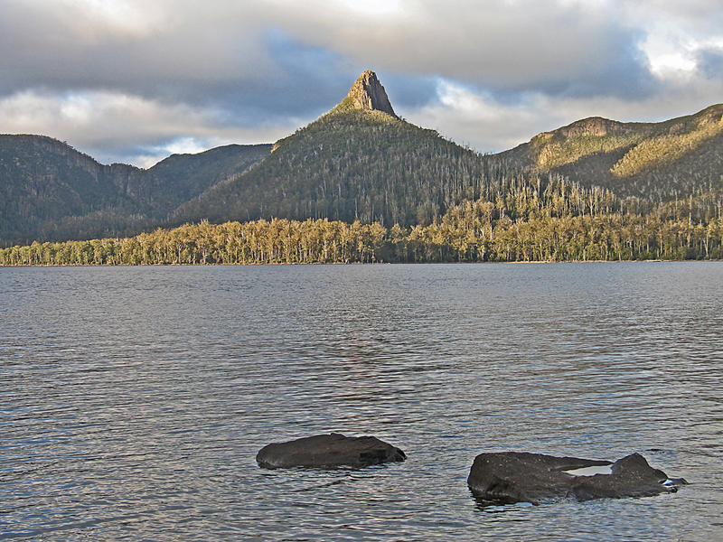
We are now in busy downtown Sydney after 13 days of travel in Tasmania. We backpacked for seven days on the Overland Track which Lonely Planet calls the best walk in Australia. I don’t know about other routes in Australia, but this was a wonderful experience with unusual mountains, moors and animals. It is famous like the Milford Track in New Zealand, but longer at 74 km (44 miles) versus only 53 km (32 miles) for the Milford. I don’t think many Americans know about it since we appeared to be the only people from the U.S. during our time on the trail.
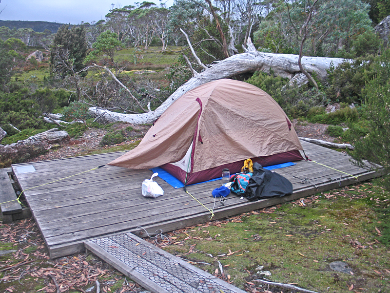
One must hike from north to south in the summer months and the fee was $150 per person. That seems high but you can see where the funds go since there are many miles of boardwalks over boggy areas and seven huts along the route. It is an almost entirely natural wilderness in the central part of Tasmania with no logging and only very small mining in the past. They don’t allow any campfires and one must pack out all trash. There are composting toilets at each hut and they haul out the waste by helicopter. One of the newer huts, built in 2008, cost $1.2 million.
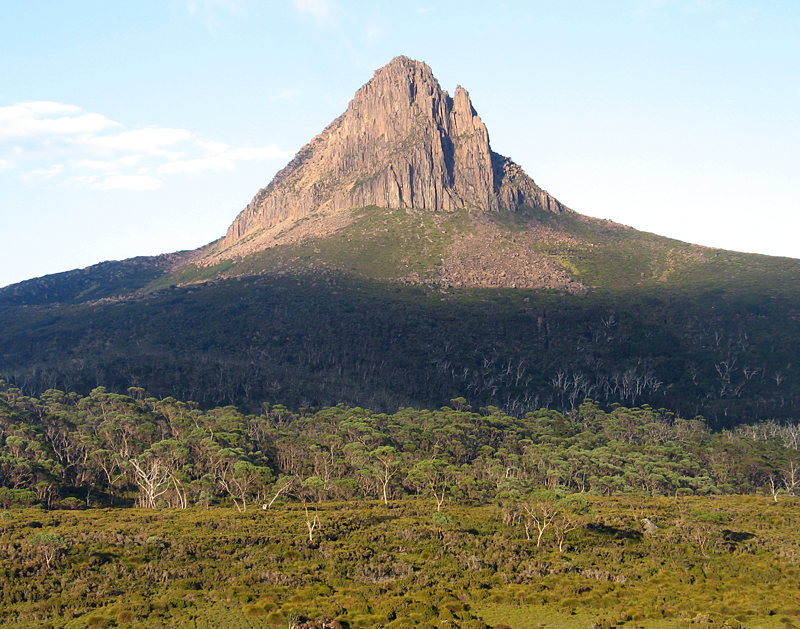
We started at Cradle Mountain about 150 miles northwest of Hobart on March 19th. In the morning at a cabin we rented I turned on the TV and saw the terrible devastation in Japan just before our departure. There was a free bus for the five miles to the trailhead. It was cool and foggy when we hit the trail with a group of Chinese. At a viewpoint where we couldn’t see anything the Chinese had stopped. I thought they were Japanese and said “konichiwa”. A young woman looked a bit puzzled and said “"We are Chinese".” Oops!, I thought, and then remembered the Chinese greeting “nihow”. At least they weren’t offended and laughed. We saw them each day and became friends.
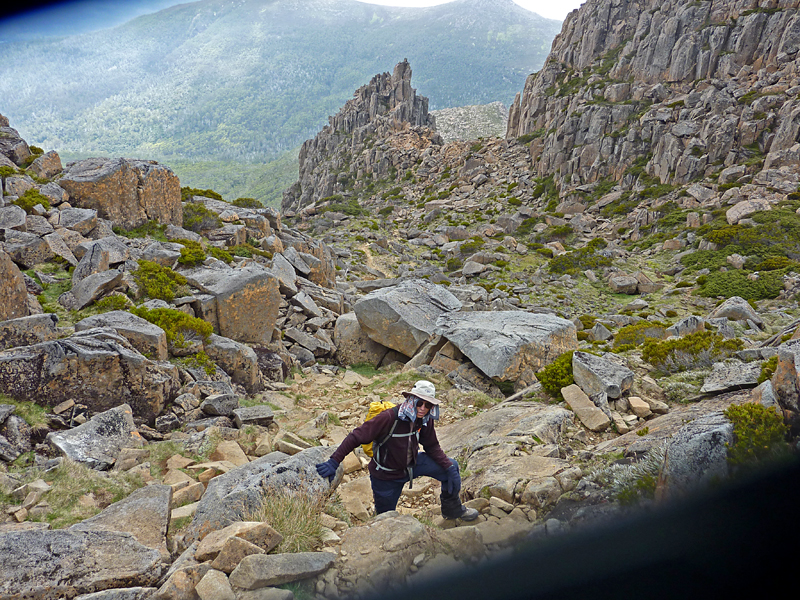
At about noon the clouds were lifting and we dropped our packs and climbed Cradle Mountain. This was 1050 ft. gain and took us two hours. It was steep with a lot of scrambling over boulders. Some did it and some turned back. Further on the track we did two other side peaks: Barn Bluff and Mt. Ossa, the highpoint of Tasmania. Together these side hikes added 13.4 km (8 miles) to our total. There is one other peak with a trail one could do, but it seemed far and we had to keep to a schedule to finish on time and also not run out of food. Hiking cross-country in most areas would be really difficult due to heavy brush and wet boggy areas.
The trail goes across high moors for the first two days. The park has put in many miles of boardwalks which are expertly built with chicken wire stapled to the top to prevent slipping. Later on there were areas of mud and lots of tree roots where we wished they had the boardwalks. Gaiters were a good idea and most everyone had them to keep the mud off ones pants.