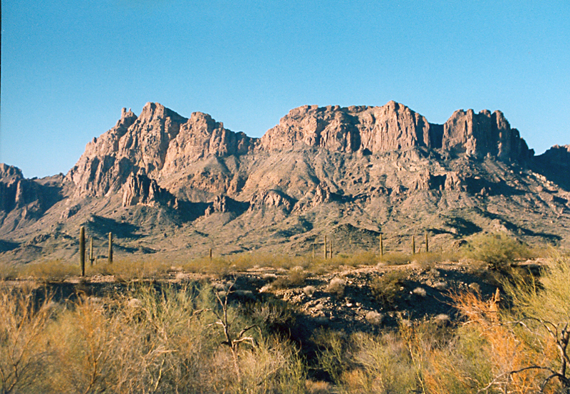
Located on BLM land, Highpoint Elevation = 3300 ft., (1006 meters)


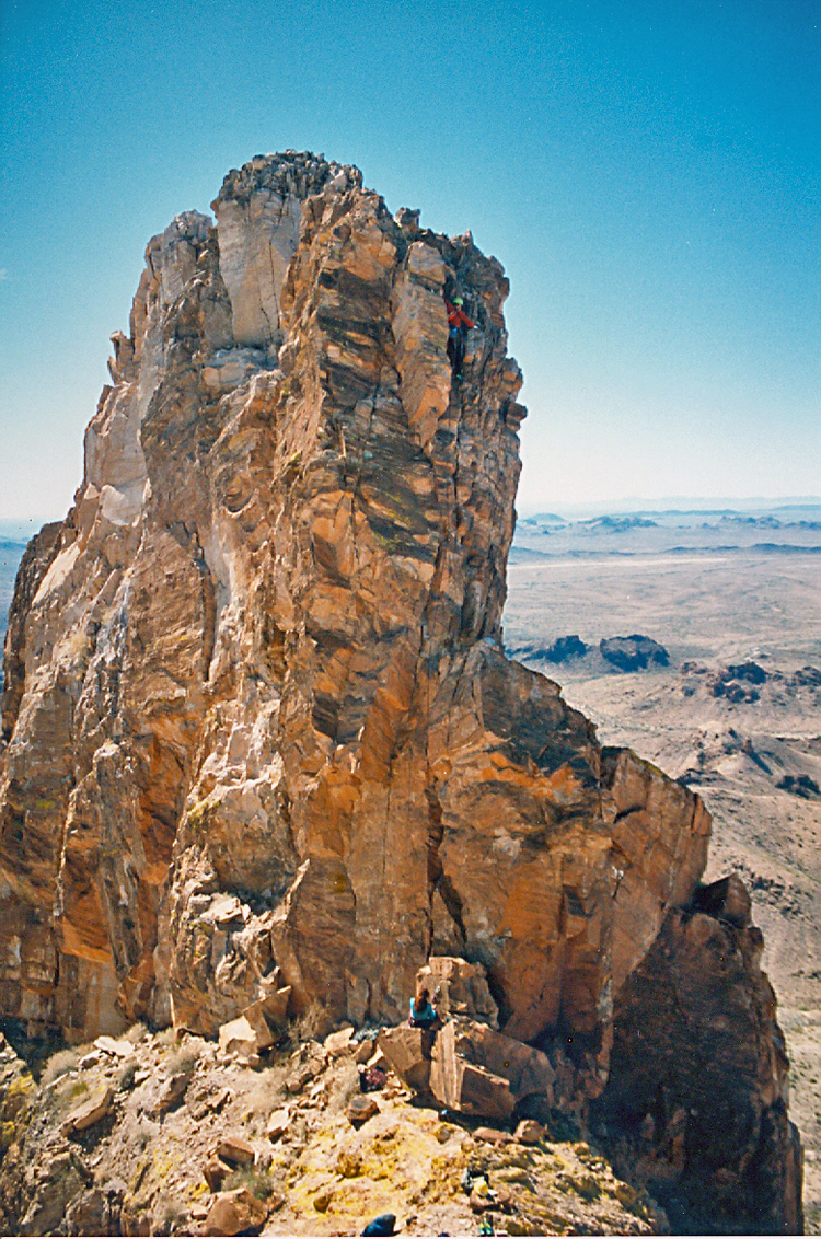
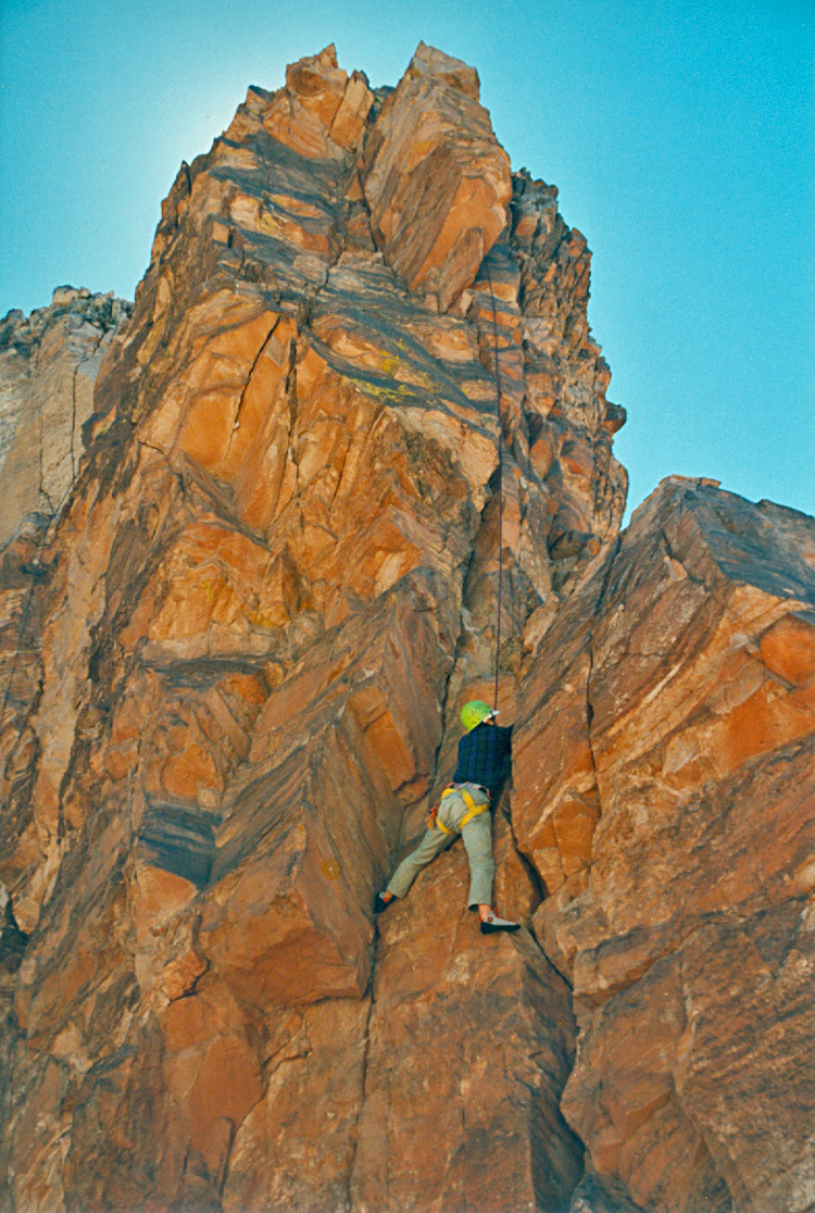
On Interstate 10 about 60 miles west of Phoenix take exit 81 to Salome Road. Go south a short 150ft. and turn right (west) onto Harquahala Valley Road. In about 0.2 miles this turns left and heads straight south. Continue on this paved road until you reach a junction at 5.1 miles and turn right onto Centenial Road. Reset your odometer and go west on this excellent graded dirt road for 7.0 miles. At this point make a sharp left turn (more than 90 degrees) and follow along a gas pipeline. After 1.3 miles turn right at a fence corner go a hundred feet or so and turn left through a gate. Follow along the wilderness boundary fence and park at 2.8 miles where there is a gate on the right. UTM here is: 290950E and 3701530N (NAD27). Hike west from here on the road and after 45 minuntes take the left fork. At about 3 miles leave the road on the left side and descend into a wash. Follow this up toward large boulders at the base of the mountain and then up a slope to an obvious gap in the ridge which is just east of the 2753 ft. spot elevation shown on the map. From here go on a bearing of about 120 crossing a ravine and then south up a slope. Contour along at the 2800 ft. level to a saddle then scramble up a narrow rock ridge to the base of the North Feather. It is about a 3 1/2 hour hike to this point. The 70 ft. high North Feather is usually climbed on the north side and is rated 5.6. A pair of bolts hold a rappel sling near the top. The rock is crumbly. Two climbing ropes are desirable. Allow plently of time if the group is more than a few people. The return hike takes about 3 hours. 3/97 RLC